Page 1 of 2

Marina and Amy's Pacific Coast Weekend (NOT 56k Safe).

Posted: 2008-06-02 03:41am
by The Duchess of Zeon
Greetings. Amy and I spent the weekend out on the Pacific Coast. Day one was in the Makah tribe--some of the most friendly and steadfast people you can know, it was an honour to go there and visit the tribal museum with the salvaged and carefully preserved (on site, by educated locals!) artefacts of the old Ozette village, for instance--where we hiked to Cape Flattery, the westernmost point in the United States. The next area we hiked to was Shi-Shi Point, about fifteen miles to the south, though part of the distance was covered by car. The pictures from the first day are therefore provided in this post. Explanation follows each picture.

Image

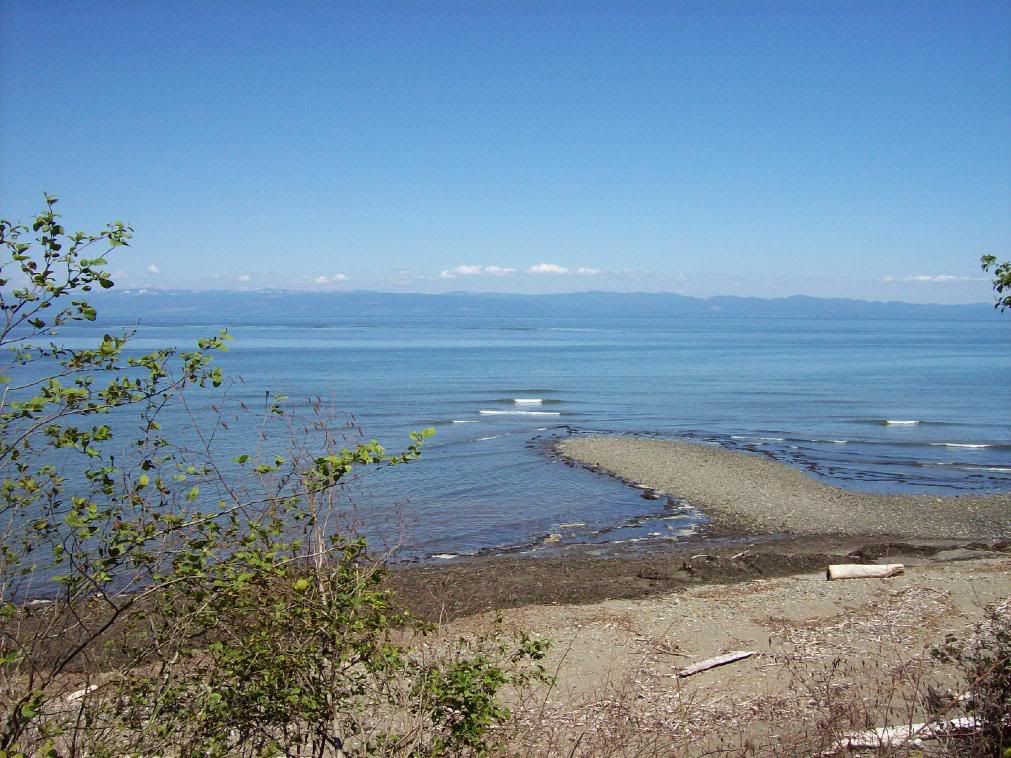
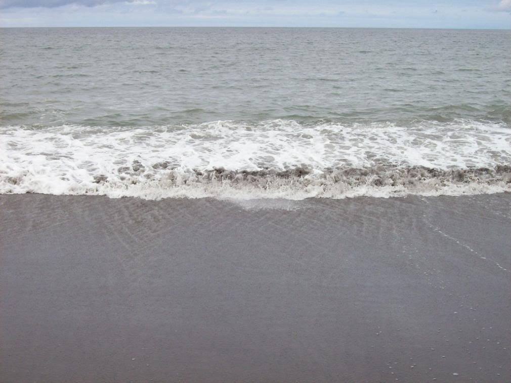
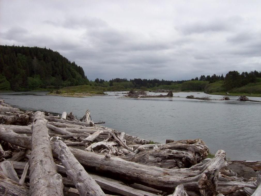
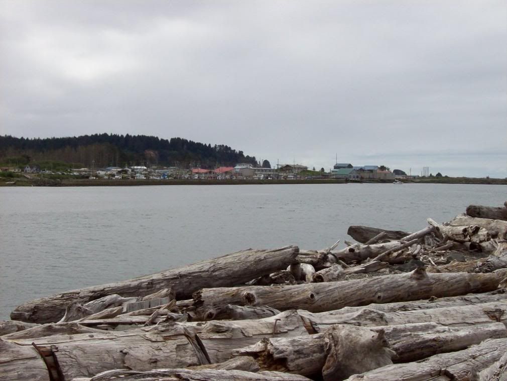
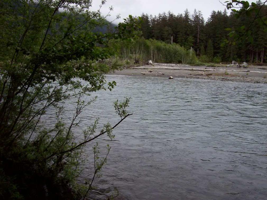
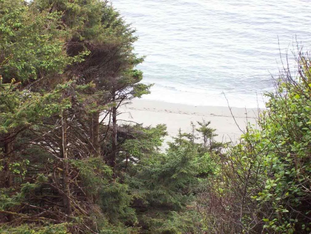
A small beach east of the Makah tribe's territories on the Strait of Juan de Fuca.

Image

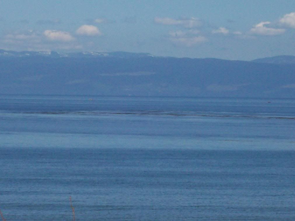
Vancouver Island across the Strait Juan de Fuca.

Image

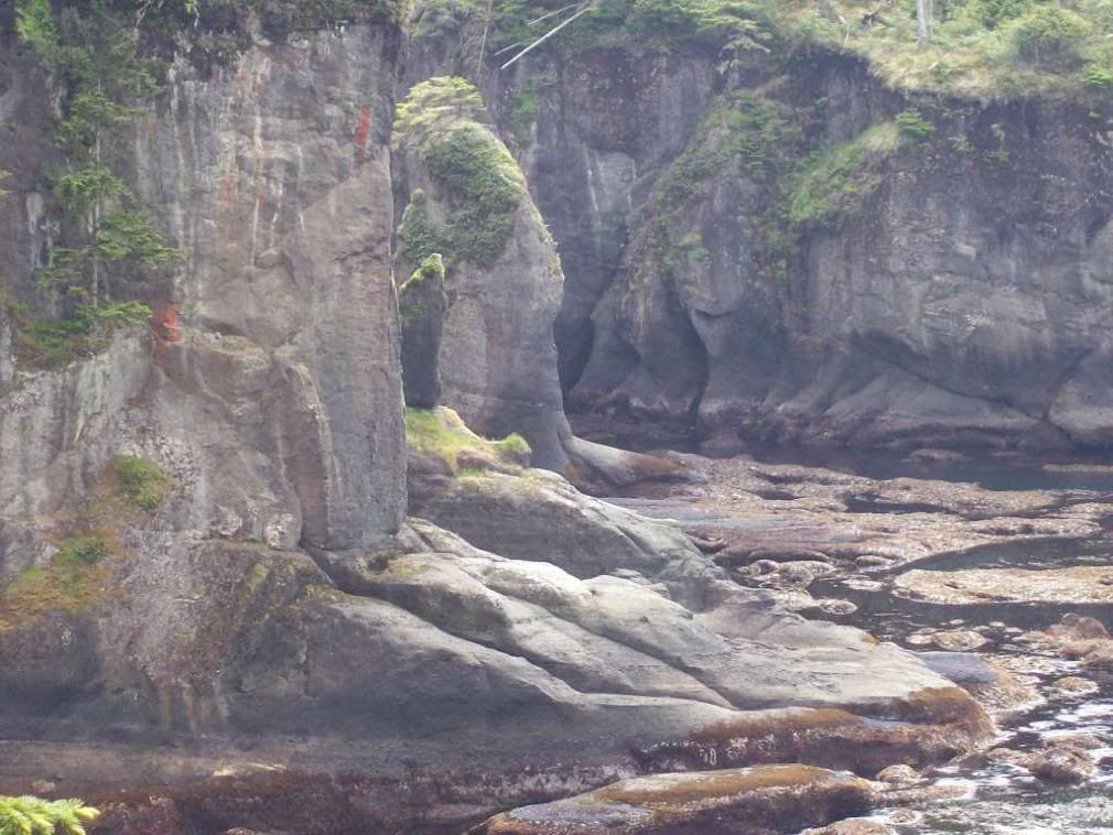
Image of Cliffs S. Cape Flattery.

Image

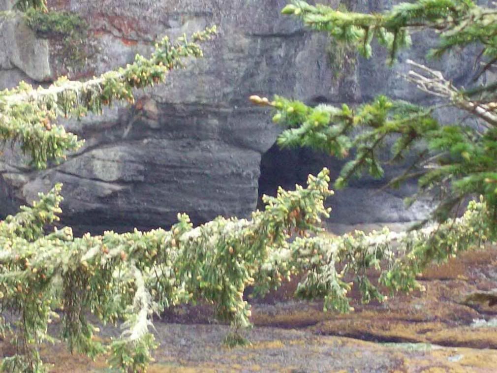
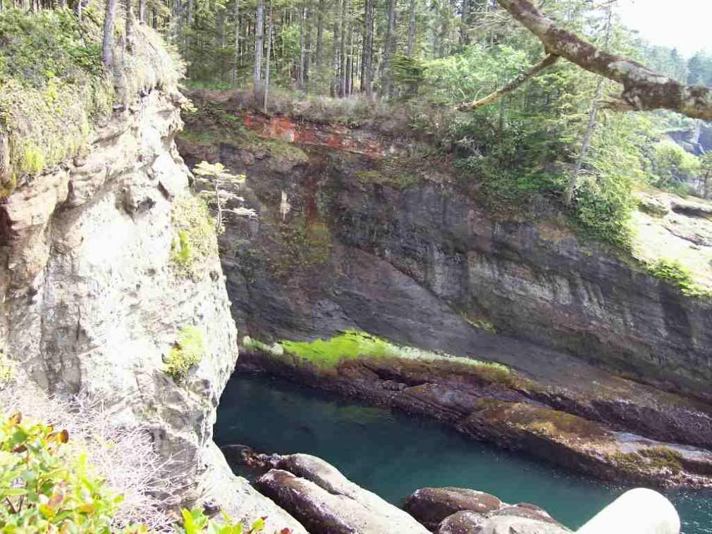
Sea Caves S. of Cape Flattery.

Image


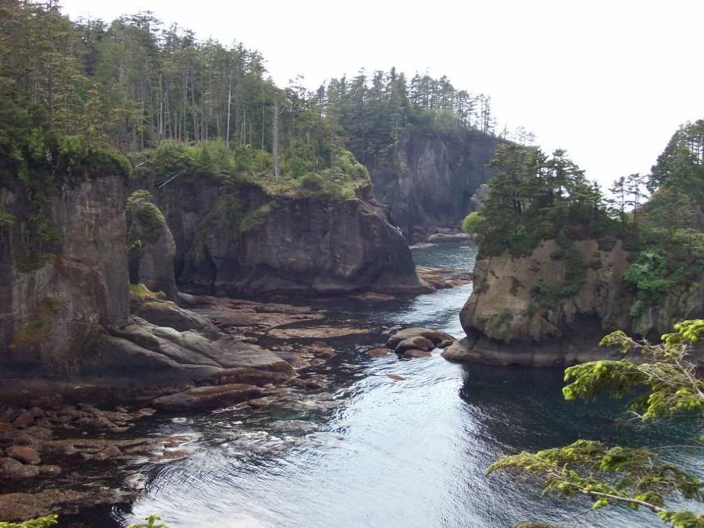
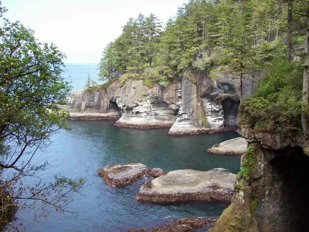
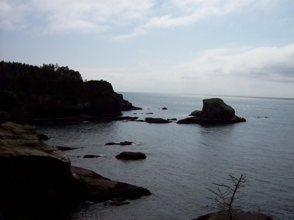
Cove smashed through the rock, Cape Flattery.


Image


Down to the rocks, S. Cape Flattery.

Image

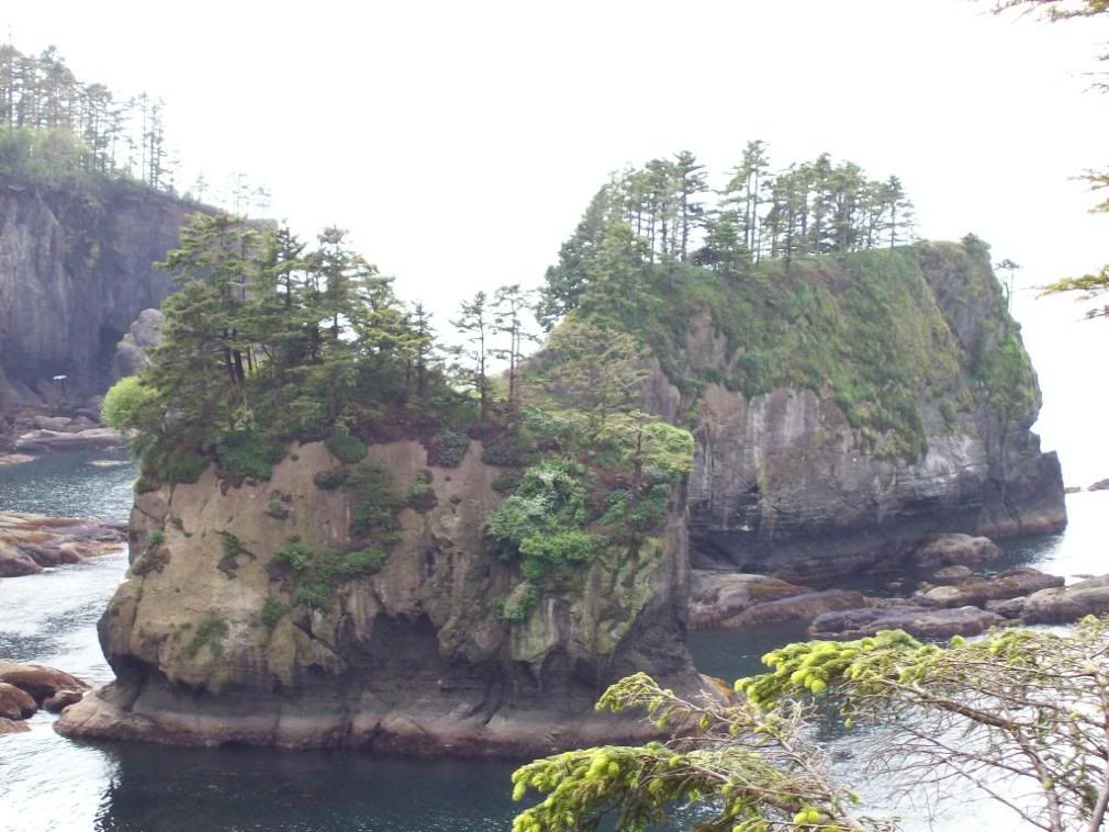
Sea Stacks, Cape Flattery.

Image

The Hills Plunge to the Sea at Cape Flattery.

Image

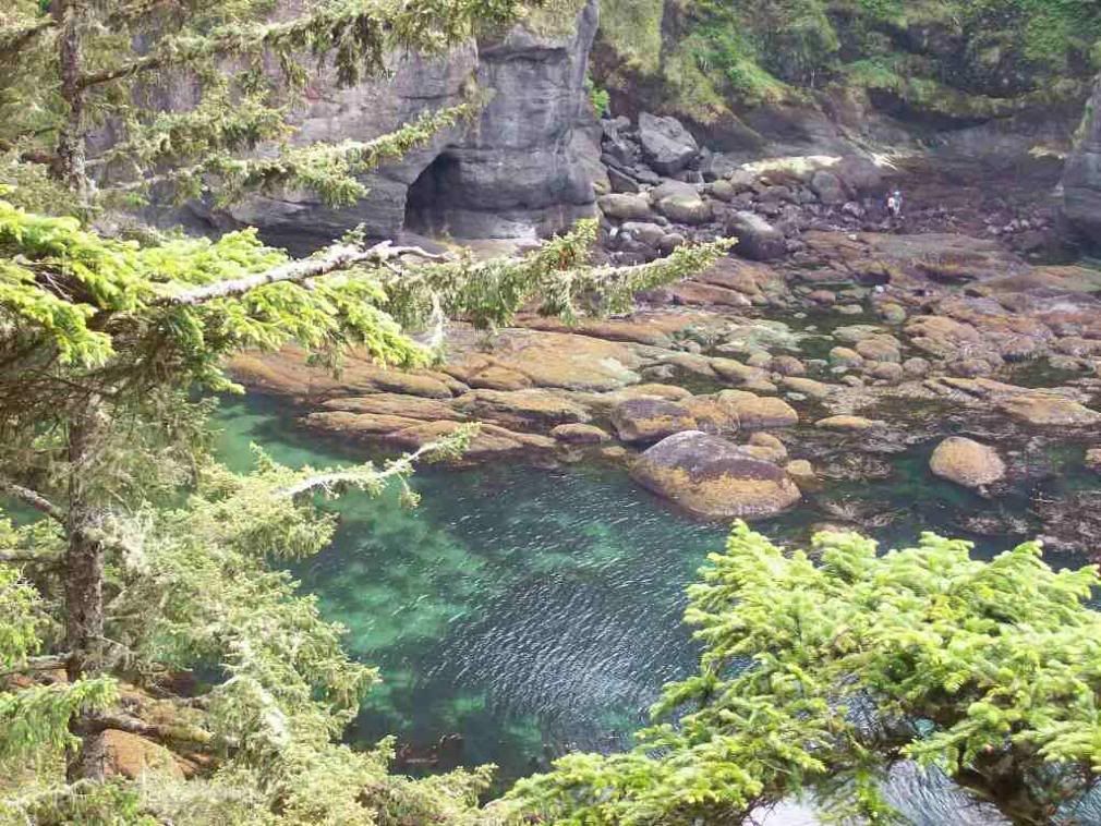
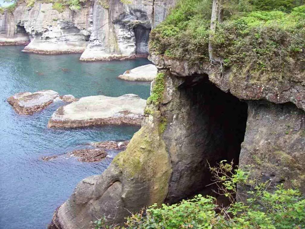
A sea-cave and the cove it lies upon.

Image

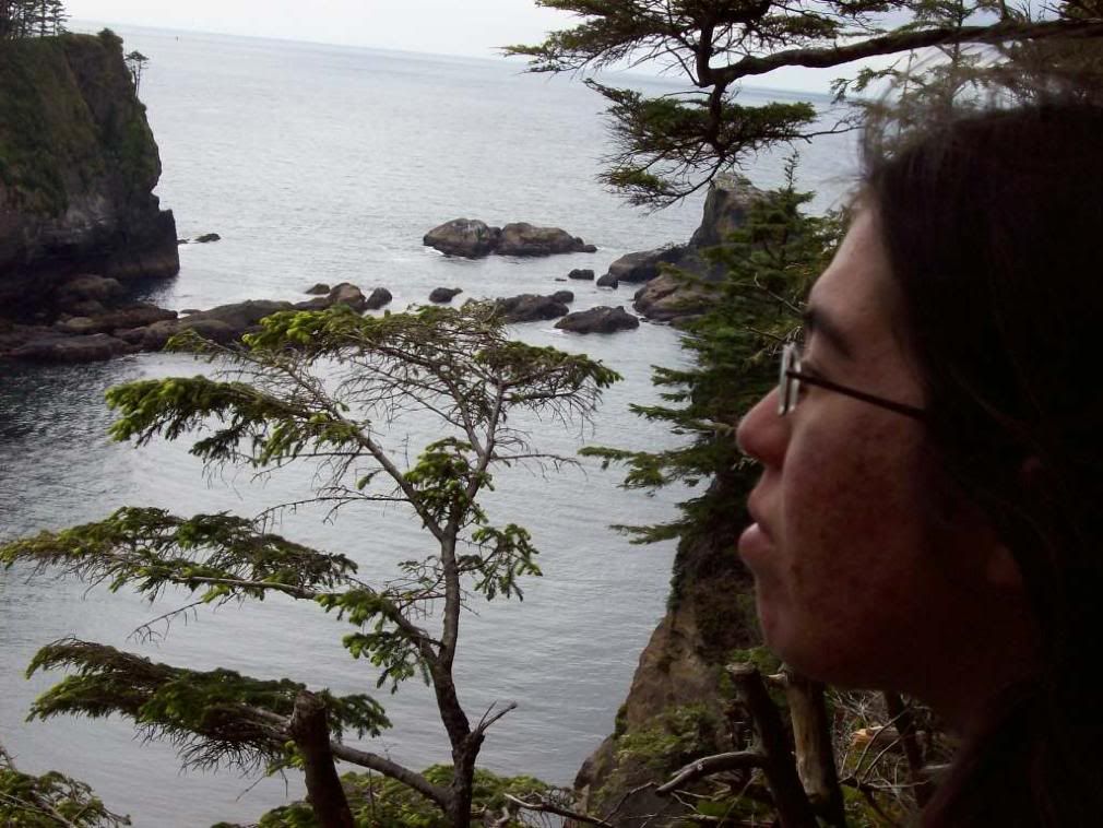
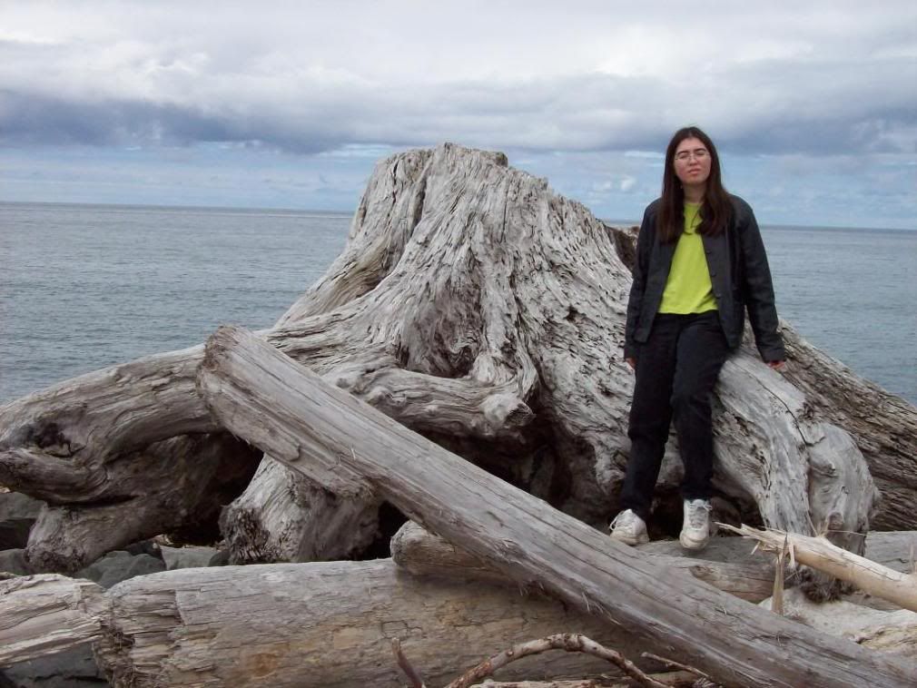
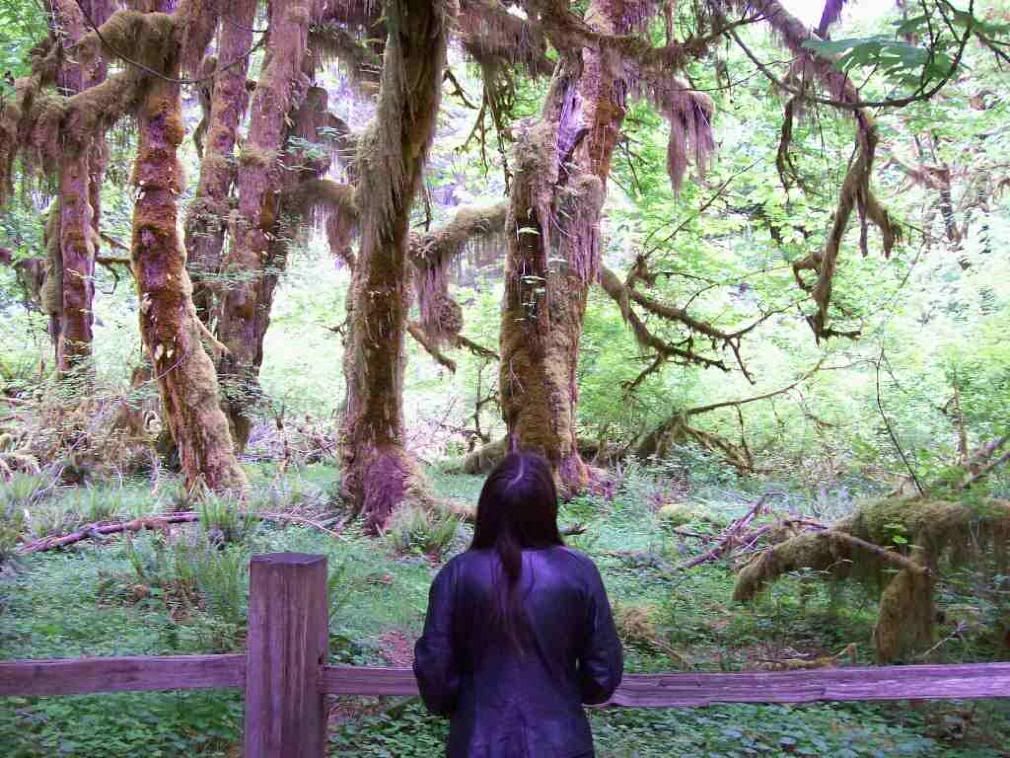
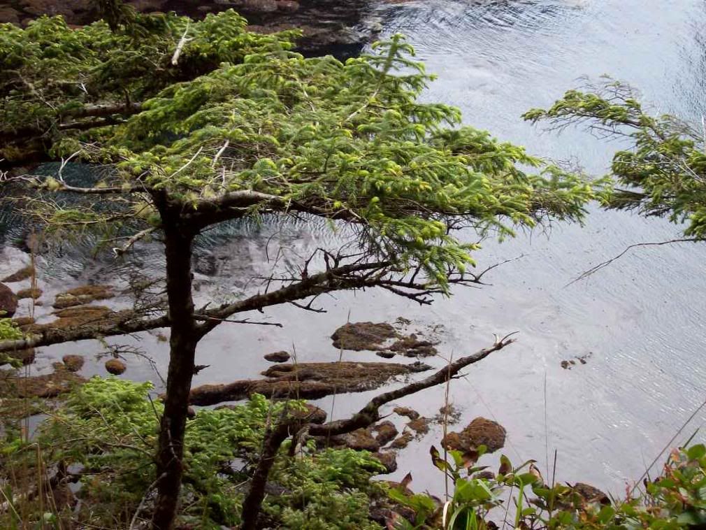
Amy looks out to the cove.
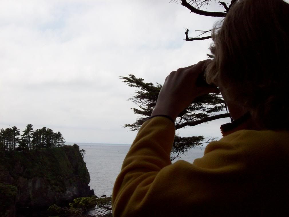
Image

Binoculars S. SW.

Image

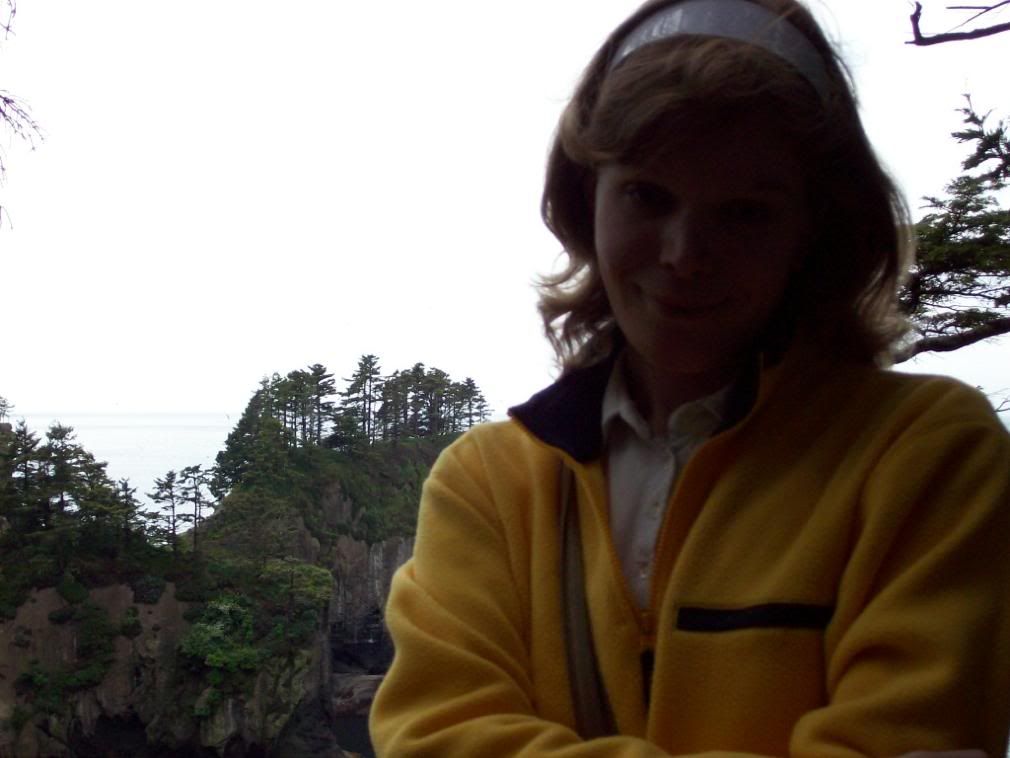
Backlit at the Cape.

Image

N. Cape Flattery.

Image

Massive sea-cave, N. Cape Flattery.

Image

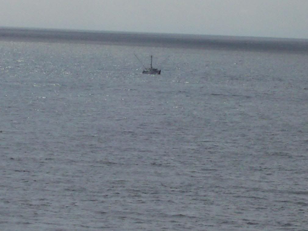
Trawler beating 'round the cape.

Image

Race-rocks below the Cape.

Image

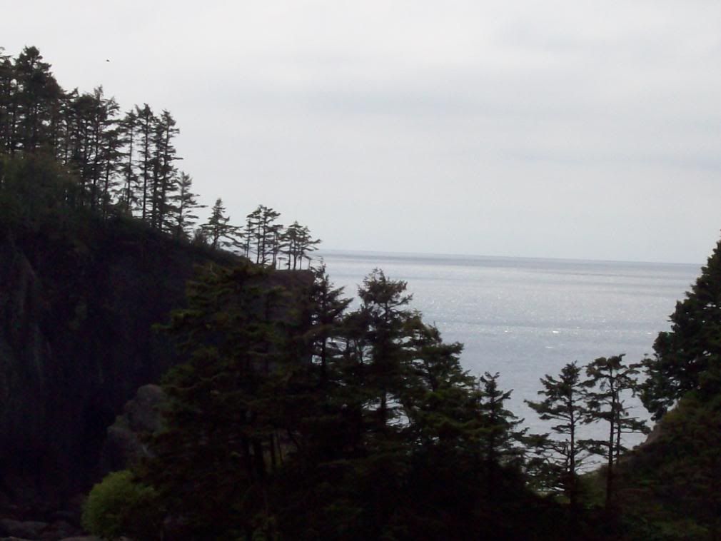
Looking south from the lookout at the very tip of the cape--as far west as you can get in the Continental United States!

Image

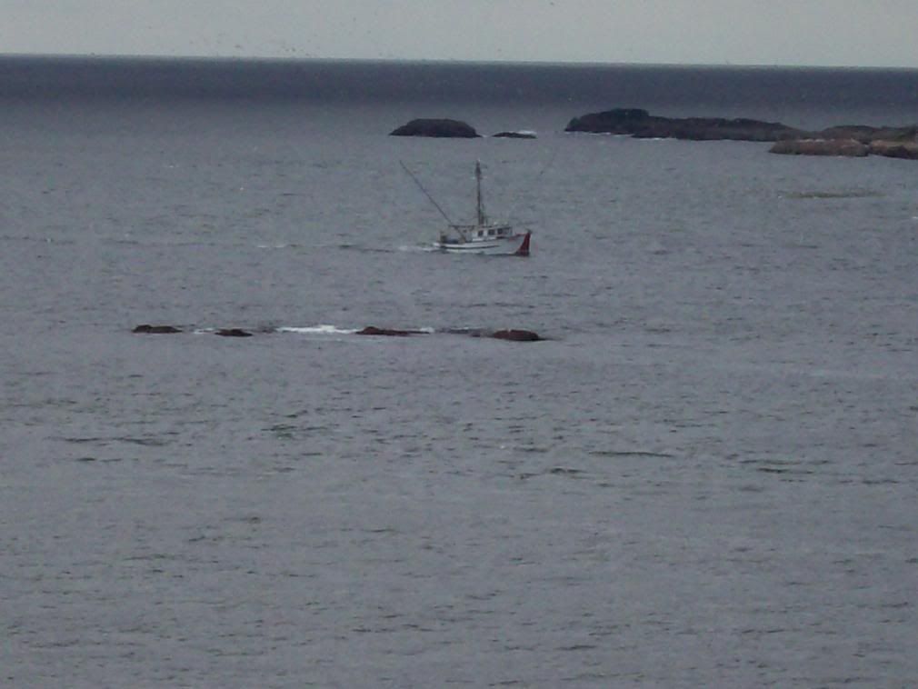
Now she runs the channel betwixt Tatoosh I. and the Cape, her nets spread to dry as she heads home for Neah Bay.

Image

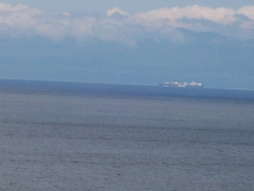
HAPAG-Lloyd merchanter standing out the Strait for open sea.

Image

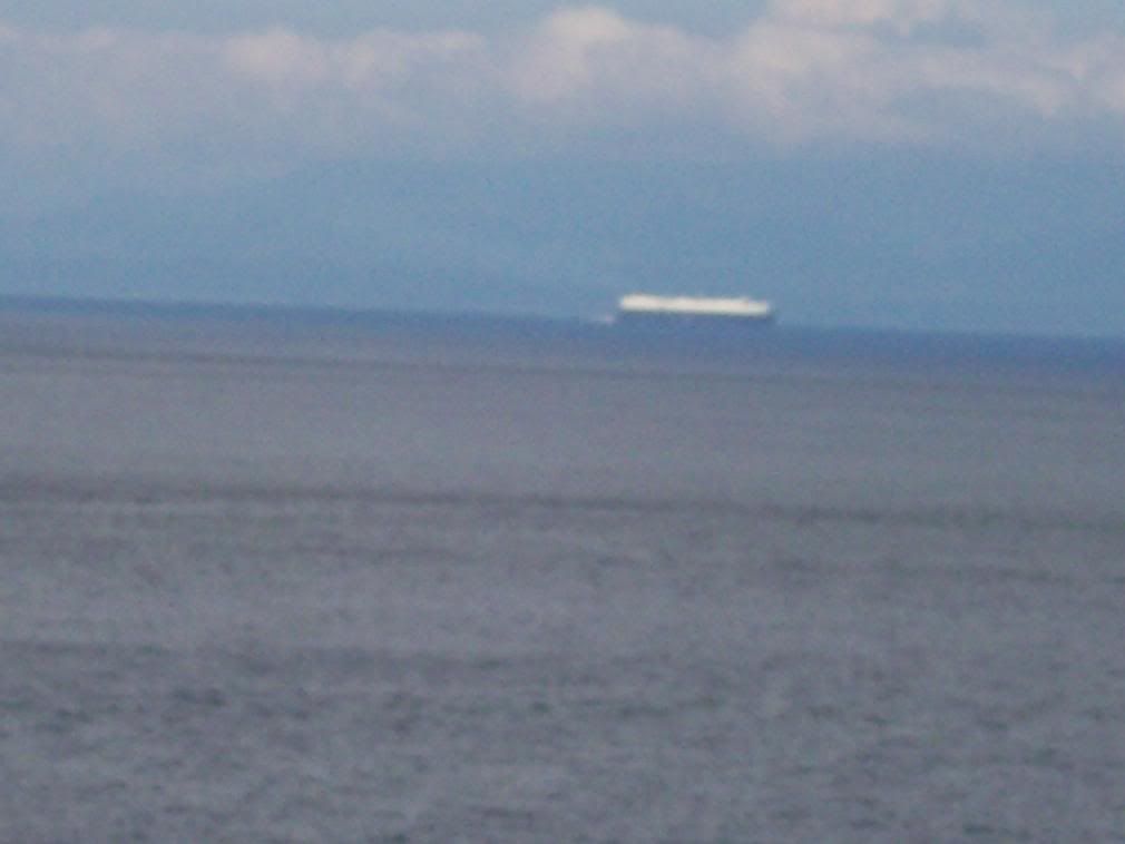
A Japanese auto carrier standing in the Strait for the ports of Puget Sound or Vancouver.

Image

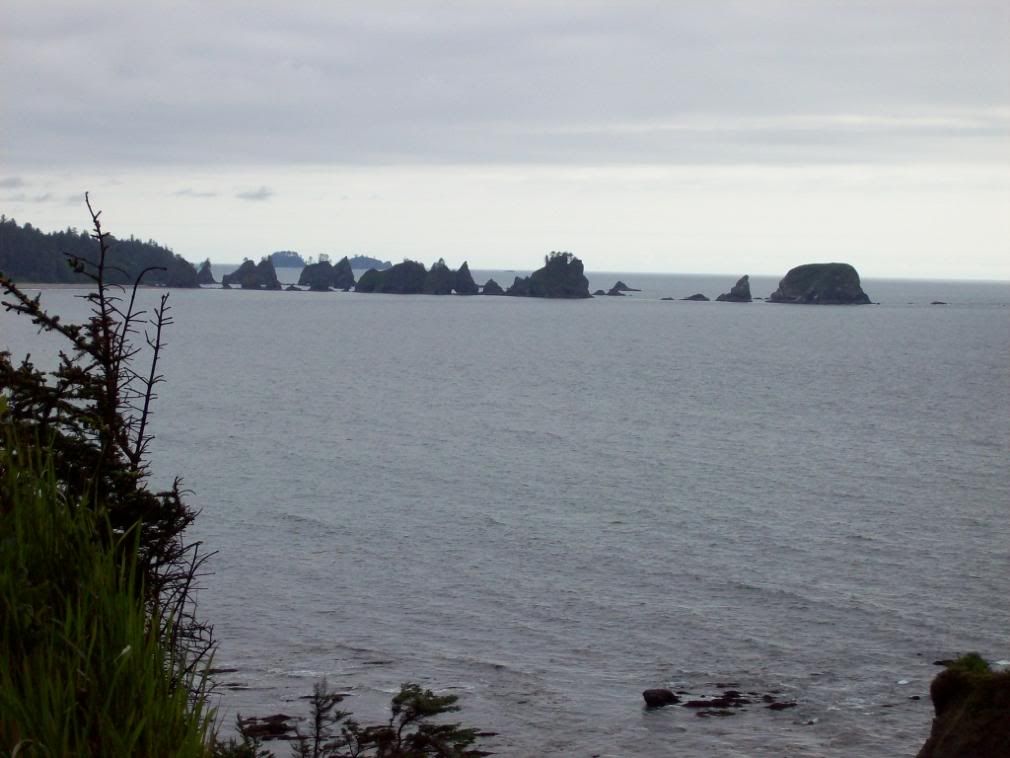
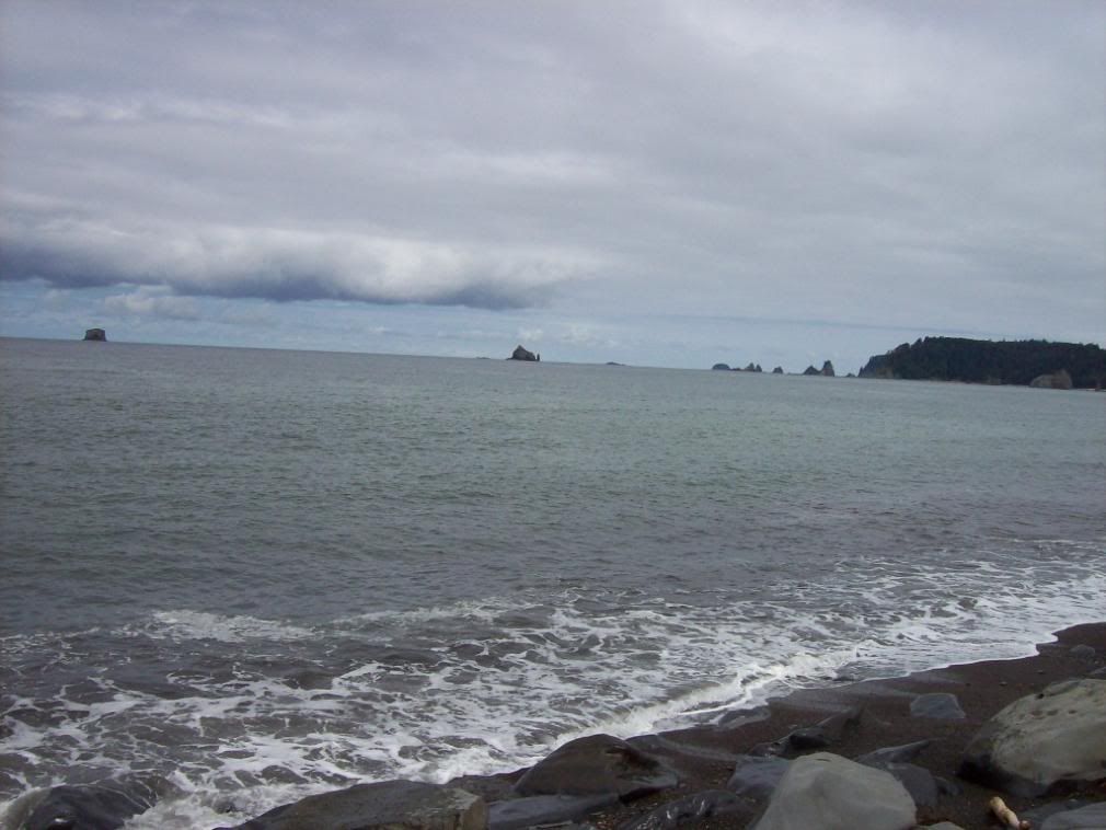
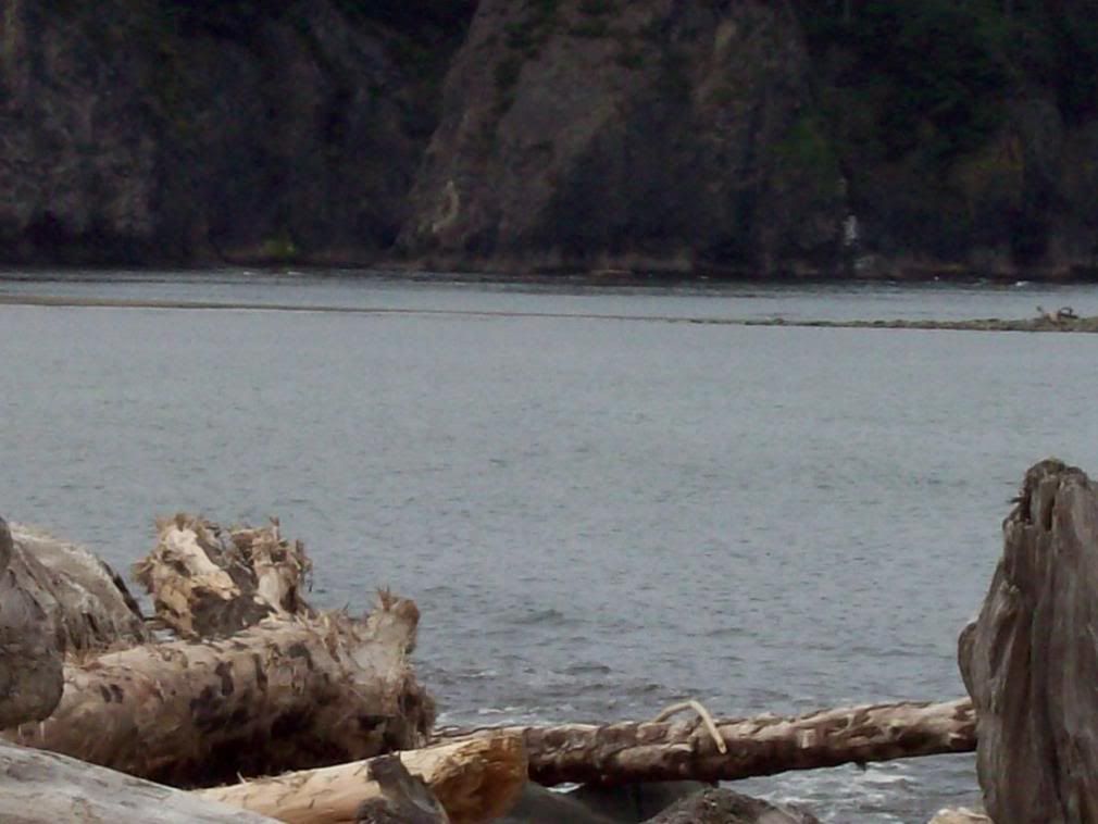
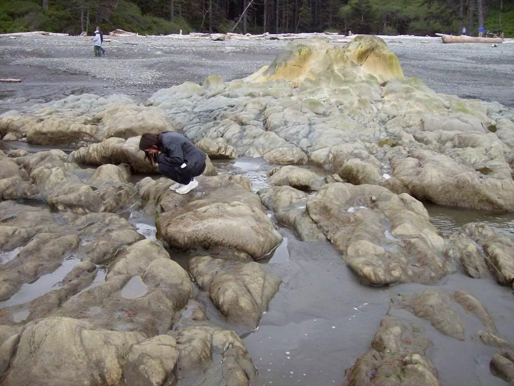
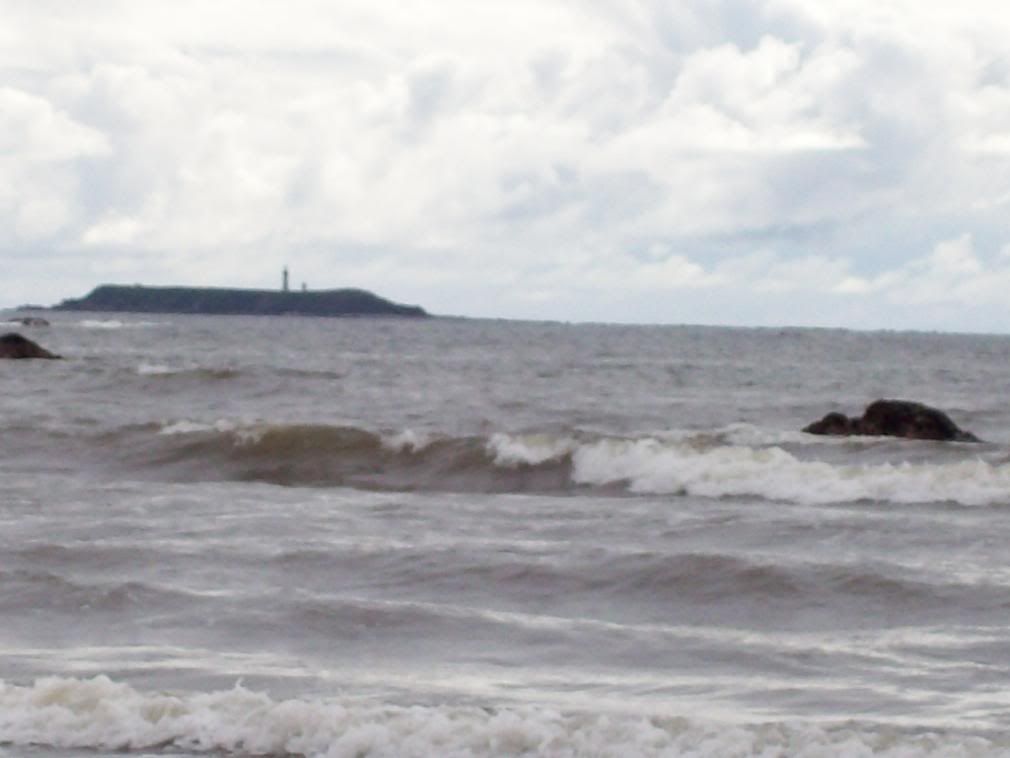
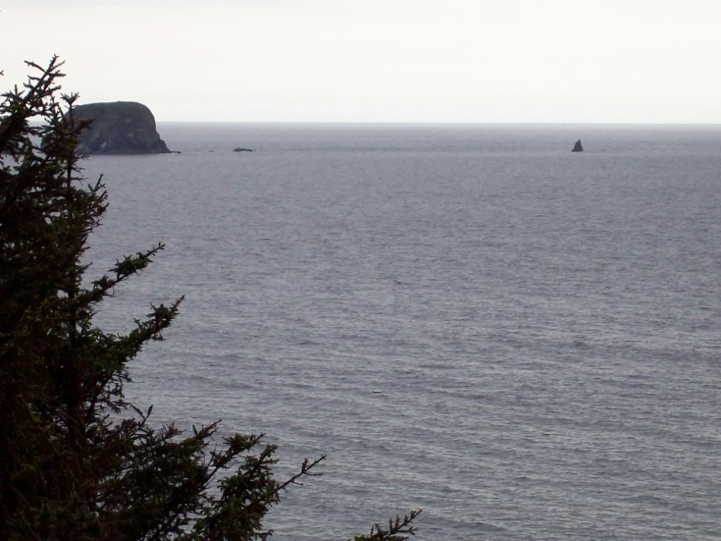
The treacherous rocks stretching out from Shi-Shi Point.
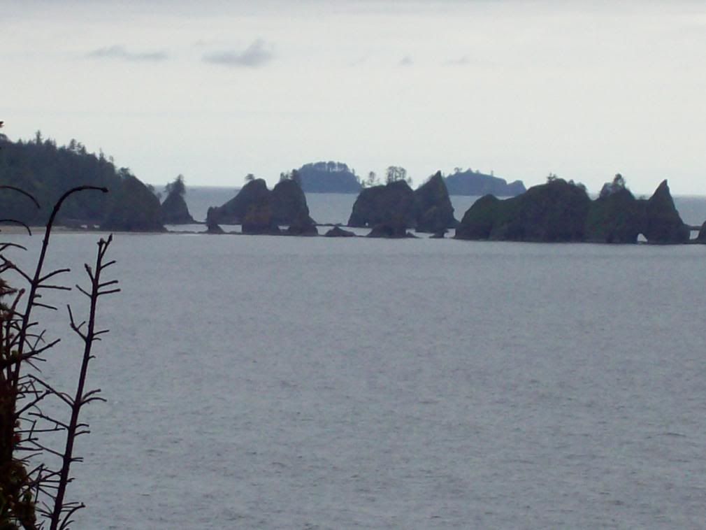
Image

And a closer look.

Image

A rock-hewn reef off Shi-Shi.

Image

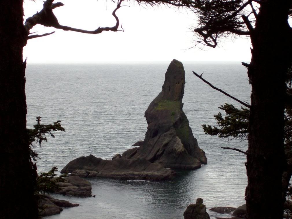
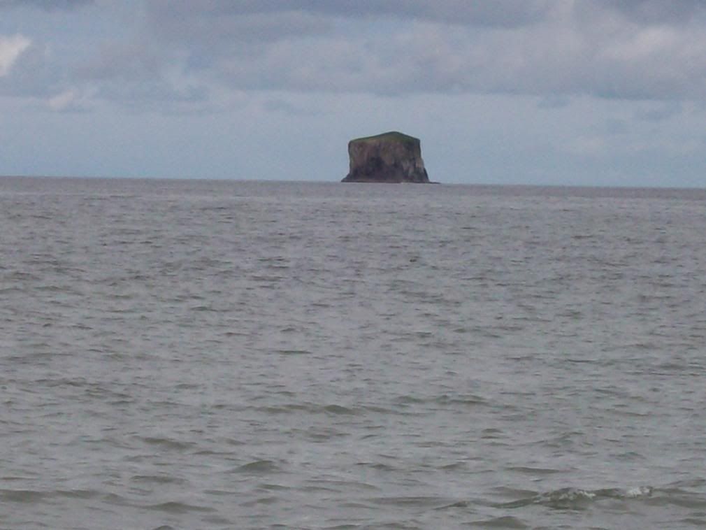
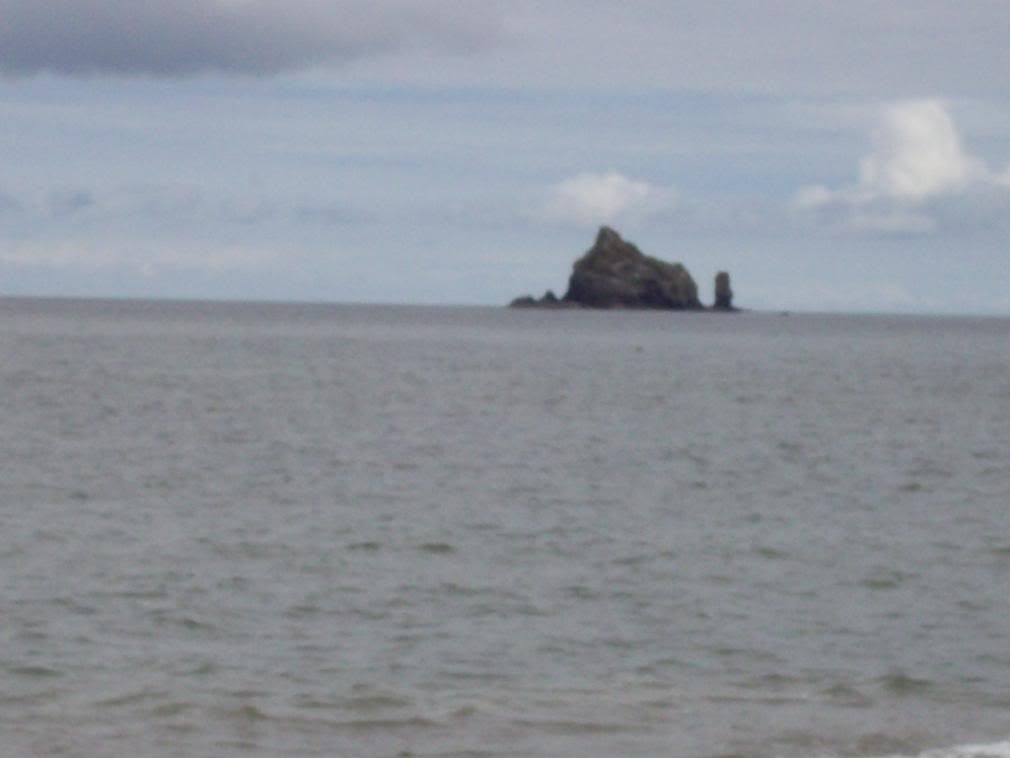
A Sea Stack off Shi-Shi.

Image

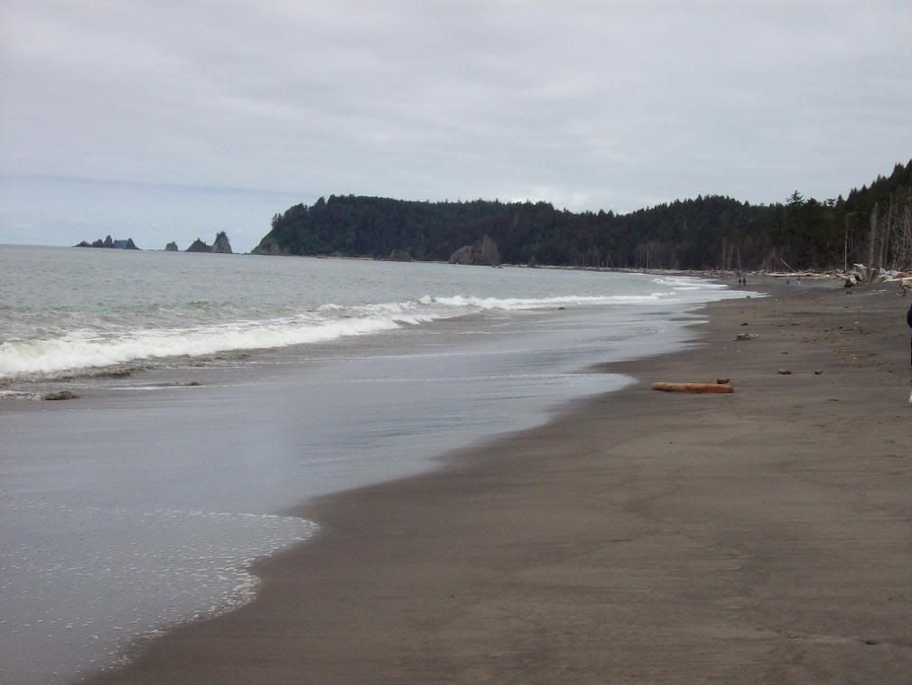
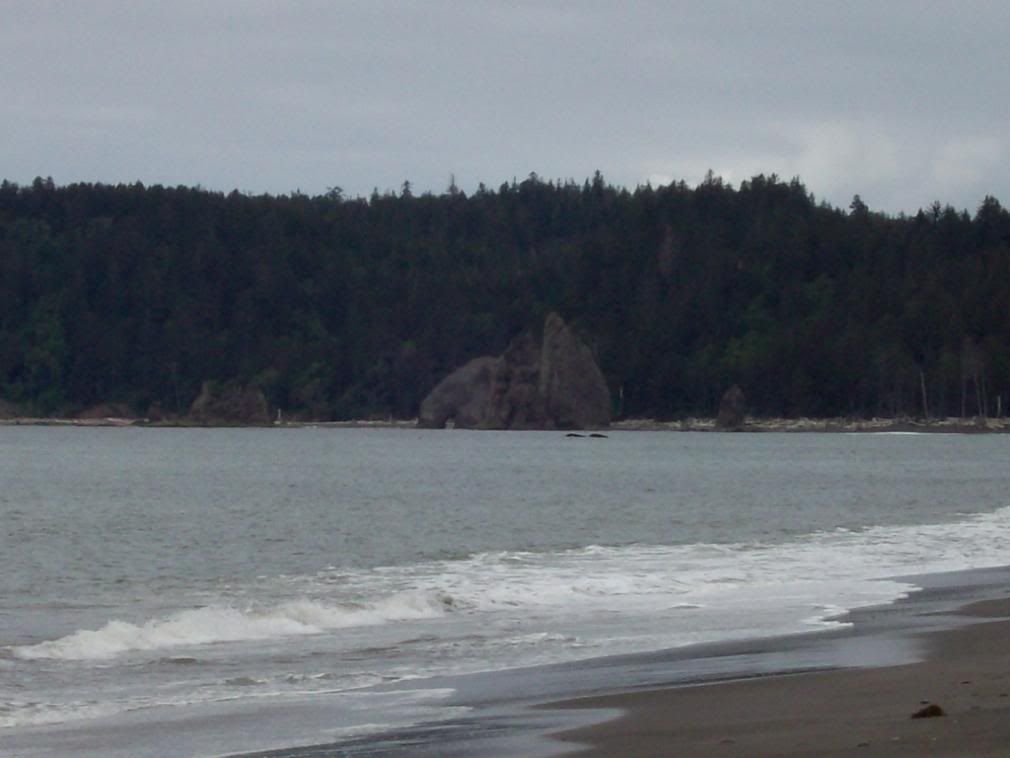
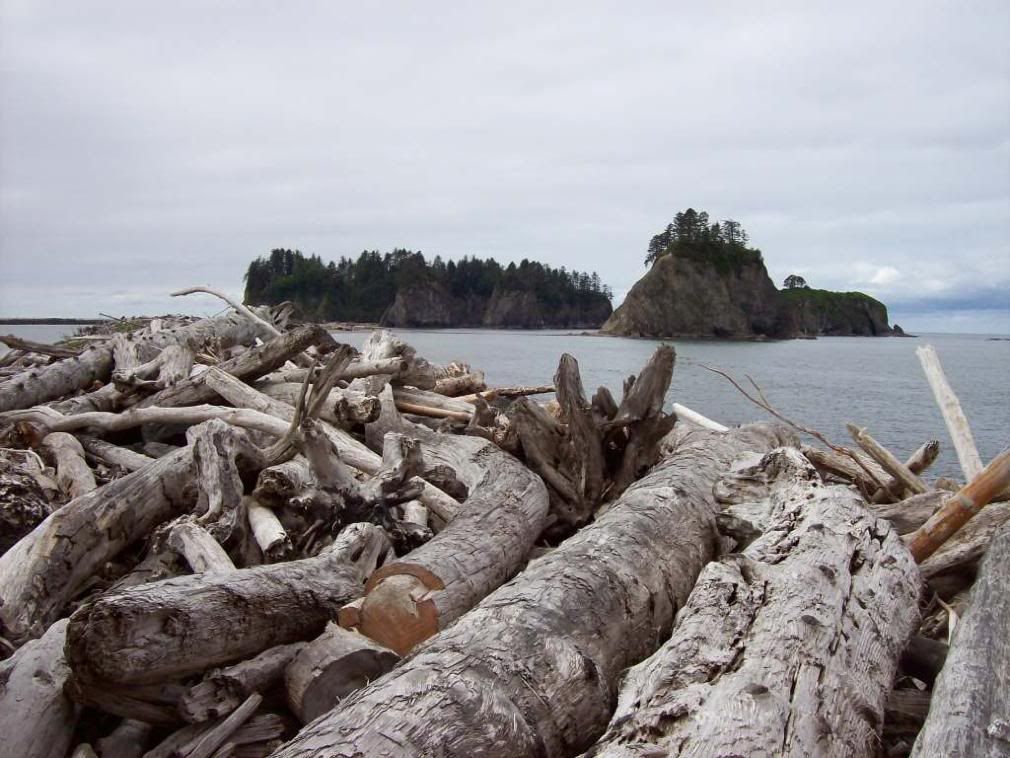
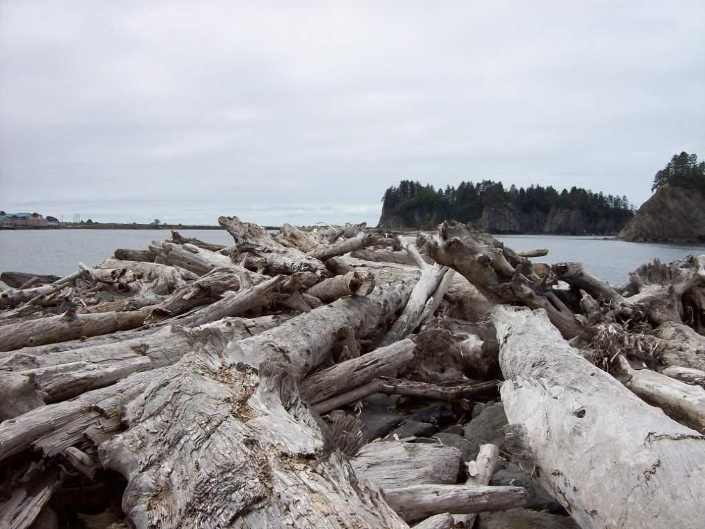
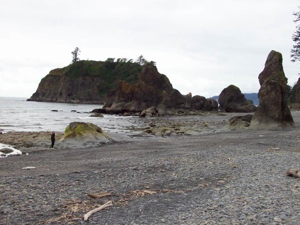
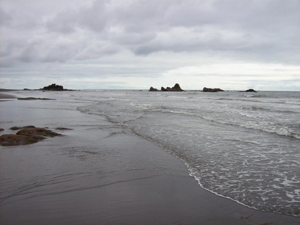
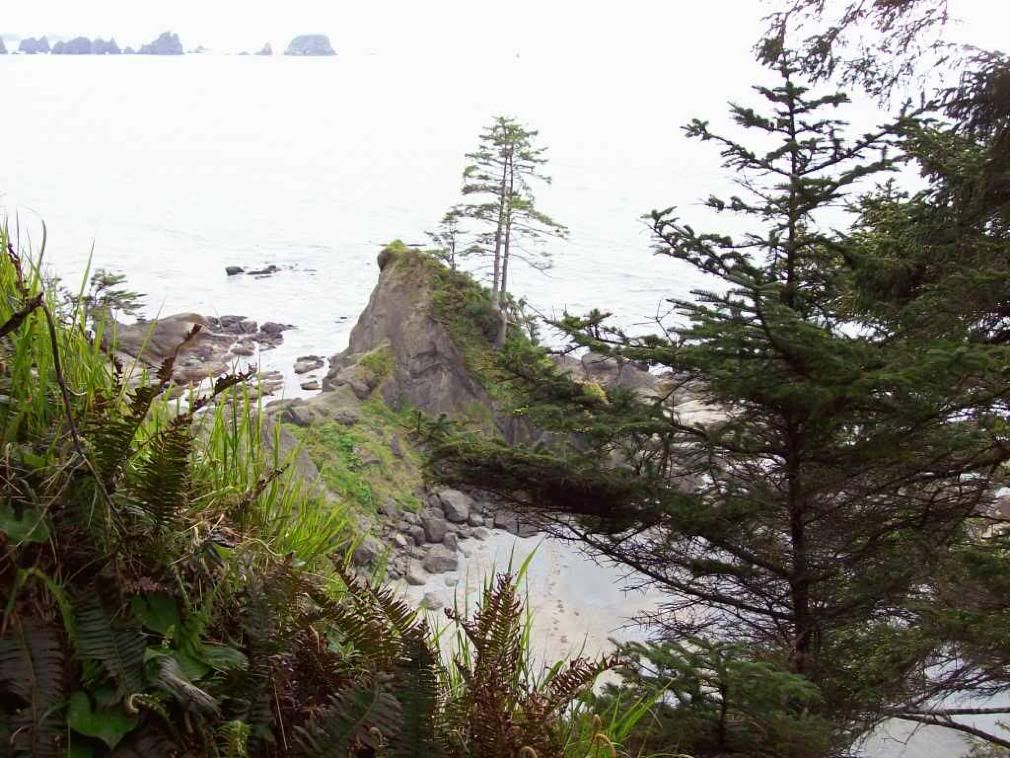
Looking down to Shi-Shi Beach--the northern end of the fourty mile "Shipwreck coast".

Image

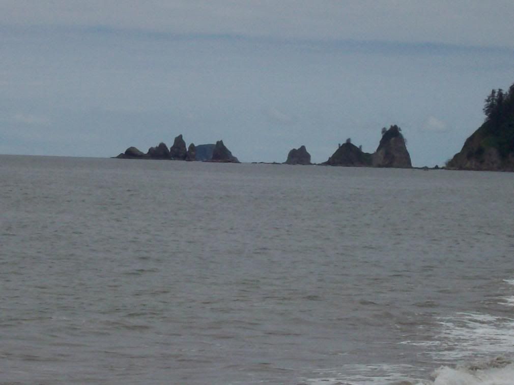
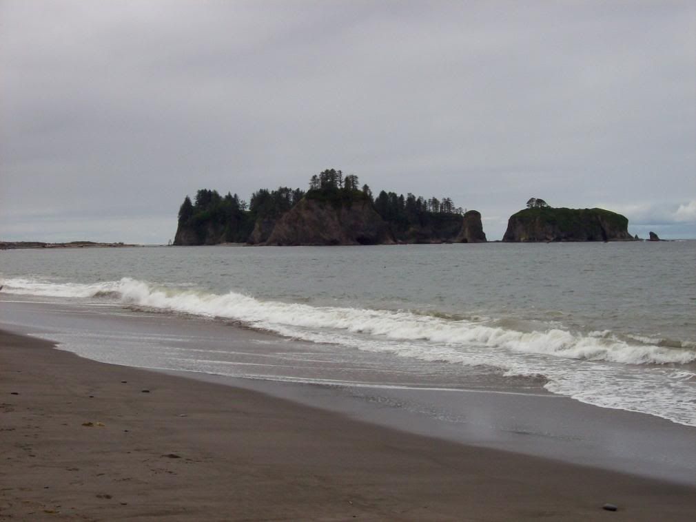
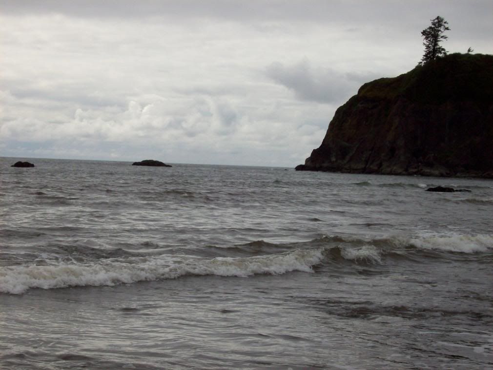
Sea Stacks off Shi-Shi and rocks looming from the sea.

Image

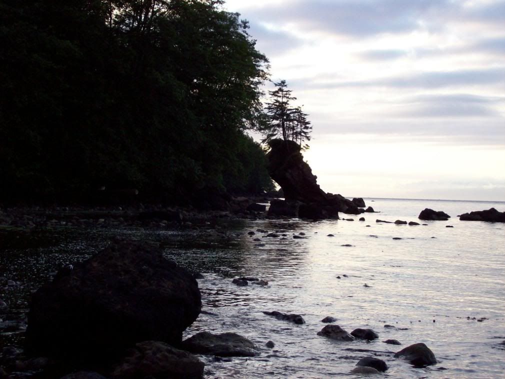
East of Neah Bay on the way back from the Makah, a leaning sea-stack.

Image

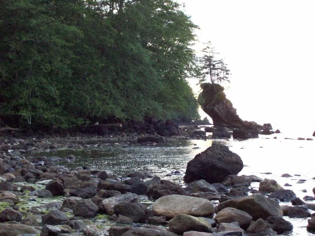
Many Sea Stacks, including that one, have trees growing atop them.

Image

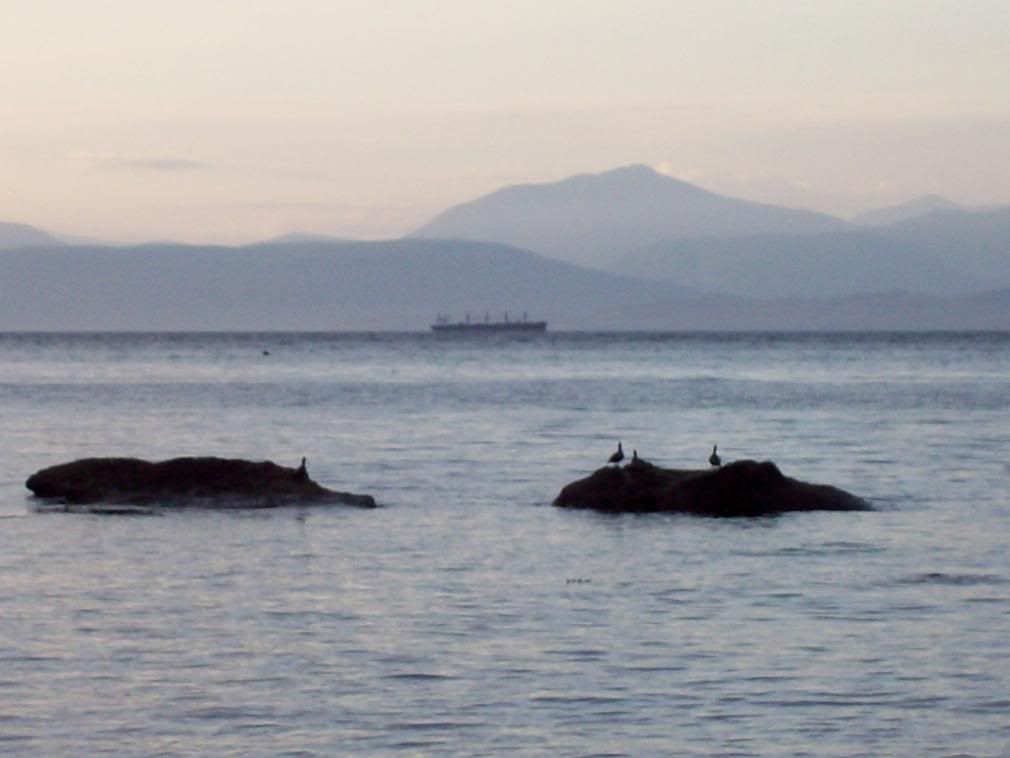
A bulk carrier on the inside track through the Strait.


Alright, I'll post Day 2 shortly, or else tomorrow! Do enjoy!

Posted: 2008-06-02 03:59am
by Darth Fanboy
Did you see any wildlife aside from the birds? I've been told that i'm supposed to ditch the coast down here and do my whale watching up North some time.

Posted: 2008-06-02 04:08am
by The Duchess of Zeon
Darth Fanboy wrote:Did you see any wildlife aside from the birds? I've been told that i'm supposed to ditch the coast down here and do my whale watching up North some time.
Amy is a hardcore bird-watcher, so we focused more or less entirely on them. Also saw some fish in mountain streams and a few smaller mammals. I'lll be posting Day Two shortly.

Posted: 2008-06-02 04:16am
by Shroom Man 777
*first pic* That is a TINY peninsula.

*sea stacks* That is a HUEG rock.

*Now she runs the channel betwixt Tatoosh I. and the Cape, her nets spread to - * HOLY SHIT! SEA SERPENT!!! :lol:

Those are AWESOME sights. And, mang, sea serpent.

Posted: 2008-06-02 04:54am
by The Duchess of Zeon
Shroom Man 777 wrote:*first pic* That is a TINY peninsula.
That's a sand bar.
*sea stacks* That is a HUEG rock.
They're harder pieces of rock which remain while softer rock around them is eroded by the sea, to be precise.
*Now she runs the channel betwixt Tatoosh I. and the Cape, her nets spread to - * HOLY SHIT! SEA SERPENT!!! :lol:

Those are AWESOME sights. And, mang, sea serpent.
Oh, those rocks would do you worse than a sea serpent, given the chance.

(day two tomorrow--I'm exhaused; I do all the driving in these trips--voluntarily, but it still tires me out).

Posted: 2008-06-02 05:09am
by Shroom Man 777
The Duchess of Zeon wrote:That's a sand bar.
I am an idiot :lol:
Oh, those rocks would do you worse than a sea serpent, given the chance.
Is it a local hazard? I mean, that trawler was pretty close and if the water conditions were different - like stormier - then it would be pretty hard to see and then - wham! Sea monster attack! Man the harpoons!

Posted: 2008-06-02 05:29am
by The Grim Squeaker
Looks like an interesting spot, I've never been there in my trips to the west coast and Washington states (We're usually in mountainous/wooded areas).

Looks like a very fun trip, although if I might be slightly critical, a lot of the photos would benefit from a little cropping, since "huge blue and grey dot - look at the dot!" is a little hard to see, and cropping would help examine the ships, Vancouver island, and the birds. (Why not more bird shots? I formally request some :D).
Also, any pictures from the museum?

Posted: 2008-06-02 05:58am
by The Yosemite Bear
Shroom Man 777 wrote:*first pic* That is a TINY peninsula.

*sea stacks* That is a HUEG rock.

*Now she runs the channel betwixt Tatoosh I. and the Cape, her nets spread to - * HOLY SHIT! SEA SERPENT!!! :lol:

Those are AWESOME sights. And, mang, sea serpent.
be thankful it was sea stacks not sleestacks.

otherwise we would have to explain to take the fight against marauding reptilemen.

Posted: 2008-06-02 07:11am
by Coiler
Duchess, how is that you have exactly the same facial expression in every single photograph of you?

Posted: 2008-06-02 08:56am
by The Grim Squeaker
Coiler wrote:Duchess, how is that you have exactly the same facial expression in every single photograph of you?
The Duchess only shows her teeth when about to strike for the neck!

(Actually, there is a reason, but it's none of my business really)..

Also, I forgot to mention this, you have a few pictures that are identical copies of each other, either being identical or one pair that has one with a burned out sky and another with a normal sky, with only the caption changing.

Also, how long would it take to get by car from a major Washington State city (Like Seattle) to that area? (For future reference?)

Posted: 2008-06-02 02:03pm
by Simplicius
That's a really interesting coastline. It's reminiscent of some of the coast and the islands out here in Maine, only the rock is a bit smoother.

You wouldn't happen to know the geology or geologic history of the area by any chance, would you? I'd be interested to hear whatever you know.

Posted: 2008-06-02 02:06pm
by Kanastrous
Lovely pictures.

The cliff and cove pix are particularly nice.

Posted: 2008-06-02 02:11pm
by The Duchess of Zeon
DEATH wrote:
Coiler wrote:Duchess, how is that you have exactly the same facial expression in every single photograph of you?
The Duchess only shows her teeth when about to strike for the neck!

(Actually, there is a reason, but it's none of my business really)..

Also, I forgot to mention this, you have a few pictures that are identical copies of each other, either being identical or one pair that has one with a burned out sky and another with a normal sky, with only the caption changing.

Also, how long would it take to get by car from a major Washington State city (Like Seattle) to that area? (For future reference?)
They are different, they're just the same location from multiple different angles; I've been more aggressive about removing these from Day 2, but I am a bit neurotic (detail shifts from different angles are interesting to me).

Sorry; no bird pictures: Amy is the one who loves birds: I'm the one who owned the camera.

To get to the Makah Tribe from Seattle you would need to take a ferry (The Seattle-Bremerton, Seattle-Bainbridge, Fauntleroy-Southworth, and Edmonds-Kingston runs would all work) and then drive for, depending on the ferry you took (which would be 30 min - 1 hr depending on the length of the trip, with about a thirty minute drive to the ferry on the other side if not from downtown Seattle--but the downtown Seattle ferry is the longest.) then drive for 20 minutes -- 1 hr, then drive across the Hood Canal Floating Bridge, which will be closed for several months next summer, during which you'd have to take two ferries (Mukilteo-Clinton and then Keystone--Pt. Townsend) or else drive around via Olympia, which would take three hours. Then you're on the peninsula and you drive to Port Angeles, about another hour or so, which is a sizeable city and has a ferry from Victoria, British Columbia, which lets Vancouver Islanders have a straight shot across. You keep driving west on highway 101 until you get to the split where 112 proceeds to Clallam Bay and Sekiu and then onwards to Neah Bay--that is a difficult drive on a long and windy two-lane road with frequent washouts, so it takes about two hours. All in all, four and a half hours plus ferry wait times.

Posted: 2008-06-02 02:14pm
by The Duchess of Zeon
Also, I don't really think the pictures would benefit from cropping--including the entire picture gives you the positional context, which lets you know just how empty the area is.

Posted: 2008-06-02 02:20pm
by Gil Hamilton
Ah, man, I am so jealous of you and Amy. The Pacific Northwest is so amazingly gorgeous, from northern California to southern Alaska. Someday, I want to take a real vacation out there during the summer and do some real hiking.

Day 2.

Posted: 2008-06-02 02:58pm
by The Duchess of Zeon
So, after the end of Day 1, we drove back out to Clallam Bay and then took the road south. It was about an hour and a half of driving on extreme backroads, might be two hours for someone during the more scenic daylight. The trip passes through the hamlet of Sappho Washington, which much amused us, but our ultimate destination was the town of Forks, Washington, population 3,120 and self-proclaimed Logging Capital of the World. As a more realistic metric, the place is the rainiest city in America, and the setting for a series of teenaged vampire novels. Avoid the overpriced suites on the north end of town; there are two very nice motels with wifi immediately south of the downtown, and we got a room for $65.00 for the night (the Pacific Inn).

After sleeping the night there, we ate at the Cup of Coffee Cafe, which is your.. Generic small-town American cafe from a logging town, really; the important thing was that the coffee was strong and the biscuits and gravy were very good; Amy had those with hashbrowns and me, a single poached egg. Alright, back to the motel to pack up and check out, and then off, backtracking about 2 miles north of town to the road out to La Push, the city which is the residency for the Quilleute tribe of Indians (population about 1,000, including 750 natives).

We turned north before reaching La Push, dogged across the Quilleute River, and then proceeded along it to Rialto Beach, a beautiful stretch of sand and rock at the southern end of the Shipwreck Coast. And so begins the first series of pictures..


Image

The Quilleute River.


Image


Islands Amidst the River.


Image

The James Islands.


Image


Standing on the bank of the river.


Image


Dead trees behind Rialto Beach, killed by the great storms of the past that broke over the beach and soaked the area with salt water.


Image

Northward along Rialto Beach.


Image

The Rocks off the Hole in the Wall, looking out to sea NW.


Image


Looking south with James Island to the southwest.


Image


Sea Stack off Rialto Beach.


Image

Surf along Rialto beach, roiling dark-coloured with the sand the wave action drags back into the water on the verge.


Image

Looking north toward the reefs about the Hole in the Wall.


Image

The teeth which have claimed at least two, and perhaps five ships, in a closeup.

Image

Another Sea Stack further out from the Teeth.


Image

The Hole in the Wall itself.


Image

Full view of the James Islands.

Image


Panoramic of the rocks off the Hole in the Wall.


Image


Massive pile of logs on the rock-jetty protecting the Quilleute River mouth and the port of La Push. The river used to flow to the sea here along the south end of Rialto Beach.

Image

The Sand Bar that connects Little James Island to the Jetty at low tide.

Image


The Quilleute approaching its mouth, from along the Jetty.

Image

Looking out along the Jetty from the southwest.


Image


La Push to S. SW.


Image


Amy beside a stump washed ashore.


After leaving Rialto Beach, we drove through Forks again to grab some water-bottles and headed south and then up into the Olympic National Park, the turn being about 12 miles south of Forks on the 101 and then a solid 26 miles up into the Olympic Mountains. The entrance fee--good for a week for the whole park--is fifteen dollars for a vehicle, irregardless of the number of passengers. We just went to this specific area of the Hoh Rainforest at the verge of the main trail of 18 miles which brings you to the glaciers and is the required hike for the approach to climb Mount Olympus.

The photos start at the Ranger's station, and move inwards...


Image

Phone-booth covered in moss in the Hoh rainforest.

Image

A mighty hundred-meter spruce.

Image

The moss--not Spanish vascular "moss", but real moss--hangs low from the trees, able to grow due to the intense moisture of the air, constantly at saturation.

Image


The hanging mosses of the Hall of Mosses, drooping down from every branch.


Image

Closeup of the mossy branches.

Image

Observe the lushness of the ground; every layer of the forest is intensely covered with life.

Image

Observe in this picture how plants are sprouting from the moss which grows on the trees--the moss gains all its nutrients from the air, so it doesn't harm the trees. The ferns and other plants with more normal sources of energy find that the dead moss decomposes to be a quite acceptable substitute to soil.


Image

A young tree growing on the best purchase, the rotting stump of a dead old tree; its roots will be strong enough for it to remain standing even after the stump is entirely decomposed.

Image

Two trees growing together on a fallen log--more on this later.


Image


Still living, this maple bends over the path, possibly having put down new roots where it touches the ground to continue life, the branches with their leaves nonetheless a continuation of its descent.


Image

Amy standing beside an uprooted stump for scale; note the lush growth on it.

Image

A clear-running, spring-fed mountain stream; look at the absolute clearness of the water.

Image

And an amazing tree which has grown on a rotted stump, now gone, and supports itself across extreme distances--a show of the adaptability of natural biology. This one long root coming in the direction of the camera and somewhat offset serves as the counterbalance for two other, larger ones.

Image

Here's the view of the full system.

Image

The pure, glacier-fed Hoh River.

Image


Many western hemlocks growing together in a clump from a common base.


Image


A Colonnade--eight trees (though one is dead), all growing neatly in a row on a fallen tree in the forest, which is now virtually gone. The living trees will be quite strong enough to remain when the log is gone, having grown upon it for centuries: This is 500 - 700 years of living processes laid out before you. The young saplings have trouble taking root in the fierce competition on the forest floor, but the immense nutrients of the fallen trees provide the resources to them that they need to prosper, making such Colonnades quite common in the rainforest.

Image

A baby red squirrel eating a pine-cone right next to the trail without fear or concern.

Image

Descending on the trail between two massive logs crossed over to make a hall through the leaves.


After our journey through the rainforest, it was time to head south on the 101; it veered west, however, and instead of hewing to an inland route, traveled the coast. That provided us with our last stop of the day, beautiful Ruby Beach, and the spectacular vantage point that it affords of Destruction Island off in the distance.


Image

Ruby Beach, with a giant Sea Stack just off the coast.

Image

Note Destruction Island in the extreme distance, and the rocky reefs lining the shore closer in.

Image

Amy looking at the tide-pools.

Image

Rocks thrusting out of the water to the south of Ruby Beach.

Image

A closeup of Destruction Island. That is indeed a lighthouse on it, and for good reason, as one might imagine from the name.

Image

low-lying rocks just south of the big Sea Stack.

Image

Amy along a creek entering the sea at the north end of Ruby Beach.

Posted: 2008-06-02 03:02pm
by The Duchess of Zeon
Coiler wrote:Duchess, how is that you have exactly the same facial expression in every single photograph of you?
I think I have a different one in the photo in the next series?

I just simply believe that I don't look good unless I have a close-lipped smile on my face, really.. ..And I'm quite unrepentant in my refusal to allow unplanned photography of myself, so nobody ever catches me unprepared (and if they did, I wouldn't put it on a website).

Posted: 2008-06-02 05:55pm
by Adrian Laguna
Those are nice pictures Marina, the area looks like it's very pretty. The rainforest has an interesting mix of vegetation, the tall thick-trunked trees remind me a lot of the Smoky Mountains, but some of the other plants are reminiscent of what you may find in the Amazon.

I wonder, is it safe to swim in those beaches? I imagine they are very cold, but a thermal suit should fix that, I'm concerned about things like rip tides, hidden rocks, and other underwater dangers. The water looks so peaceful, but when it comes to the sea you should never trust mere appearances. It would certainly be fun to frolic among those gentle waves if it's safe to do so.
The Duchess of Zeon wrote:I'm quite unrepentant in my refusal to allow unplanned photography of myself, so nobody ever catches me unprepared (and if they did, I wouldn't put it on a website).
You might be surprised one day, though. One of my favourite pictures of myself happened entirely on accident. On the other hand, you seem to think you look good when you smile for the camera, I think it looks obnoxiously fake when I do the same.

Posted: 2008-06-02 06:08pm
by Lonestar
Shroom Man 777 wrote:
I am an idiot :lol:

It's okay. They don't have much of a coastline in the Philippines, do they? :P

Posted: 2008-06-02 08:58pm
by Coyote
I always forget how beautiful that part of the country is.

For whale-watching, the only place I know on the West Coast where you can watch whales and sea lions from the coast itself is Pigeon Point, California. There's an old lighthouse there that is now run as a hostel.

Up near Seattle itself is Fort Lawton-- it's an Army Reserve fort on land that is both Indian and Park. The military part is closing and the handful of offices there are moving to Fort Lewis in the south, and they'll turn the whole area over to civilian use. It's gorgeous, but far more 'civilized' than these pictures. But there is an Indian historical lodge there, too, and it's got some different views of the bay.

Posted: 2008-06-02 09:09pm
by The Duchess of Zeon
Coyote wrote:I always forget how beautiful that part of the country is.

For whale-watching, the only place I know on the West Coast where you can watch whales and sea lions from the coast itself is Pigeon Point, California. There's an old lighthouse there that is now run as a hostel.

Up near Seattle itself is Fort Lawton-- it's an Army Reserve fort on land that is both Indian and Park. The military part is closing and the handful of offices there are moving to Fort Lewis in the south, and they'll turn the whole area over to civilian use. It's gorgeous, but far more 'civilized' than these pictures. But there is an Indian historical lodge there, too, and it's got some different views of the bay.
My dad used to be in charge of the psychiatric wing at Fort Lawton when there was still an army hospital there.

The best place for Whale-watching is certainly in the San Juans. You CAN see lots of seals and some whales on the pacific coast; we simply didn't. We DID see numerous Sea Otters, however, but I wasn't able to snap a picture of one.

Posted: 2008-06-02 09:31pm
by Gil Hamilton
Those pictures make me wish to travel through time and space to before your trip to lend you a better camera. Scenery of that quality deserves nothing less. :lol:

Posted: 2008-06-02 10:26pm
by The Duchess of Zeon
Gil Hamilton wrote:Those pictures make me wish to travel through time and space to before your trip to lend you a better camera. Scenery of that quality deserves nothing less. :lol:

I couldn't afford a good one then, and I couldn't afford any camera at all now, so I use what I already got... Did my best with the constraints, at least, or so I thought.


(I also set it to .8 megapixels instead of 6.1 megapixels, the camera's full capability, to preserve storage life, as I have no storage cards, just internal memory, and I'd realized after leaving that I'd forgotten the transfer cord to my laptop, Grr).

Posted: 2008-06-02 11:52pm
by LadyTevar
Marina? May I steal one or two of those for backgrounds on my Work Computer?

None with you or Amy in them, of course. Just the scenery

Posted: 2008-06-02 11:53pm
by The Duchess of Zeon
LadyTevar wrote:Marina? May I steal one or two of those for backgrounds on my Work Computer?

None with you or Amy in them, of course. Just the scenery
Surely! I'd have no problem with that at all.