National Park vs State Forest(56K dangerdanger)
Posted: 2008-11-04 06:43pm
So we've done a few day trips to nearby forests to get out of the city and get some pure, uncut air. Tasmania has the highest proportion of its area given over to national parks and world heritage areas. Three weekends ago we visited Mount Field National Park, about an hour northwest of Hobart.
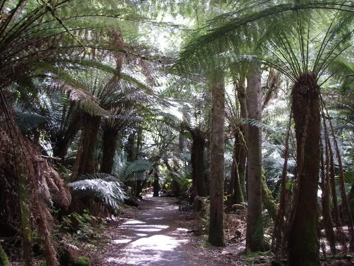
This is on the walk in to Russell Falls. Your minds eye sees dinosaurs amongst this.
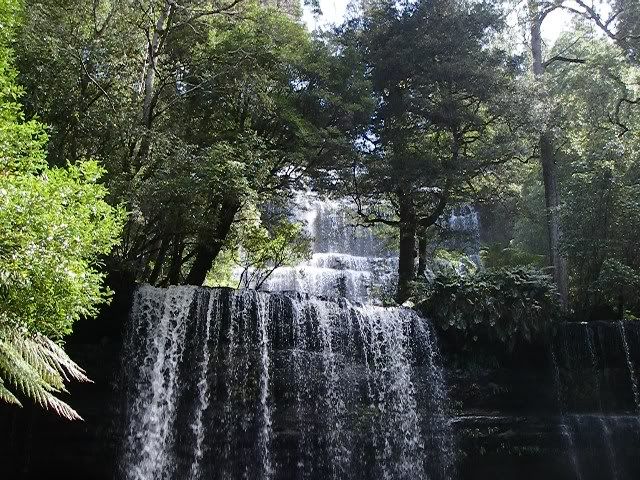
Russell Falls, or as much as I could get from the platform below.
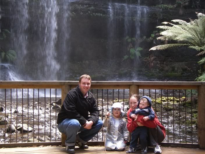
Gangeroo
If you drive up into the hills, there are skiing fields. It's almost summer here, and yet:
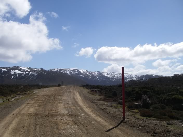
Snow! Snow, in the same sector!
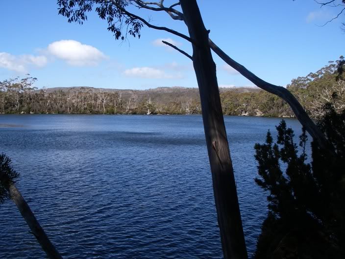
This is Lake Dobson, one of the smaller bodies that feed Russell Falls. Like most of the freshwater lakes in central Tasmania, it was probably dumped by a glacier. We walked a track that runs the circumference of the lake, and then the sun was going down; time to go home.
This weekend past we headed the opposite direction. 90 minutes south of Hobart, the local logging authority, Forestry Tasmania, has set up a nice propoganda piece. One of those gantries that allows you to walk at treetop level and take in the sights.
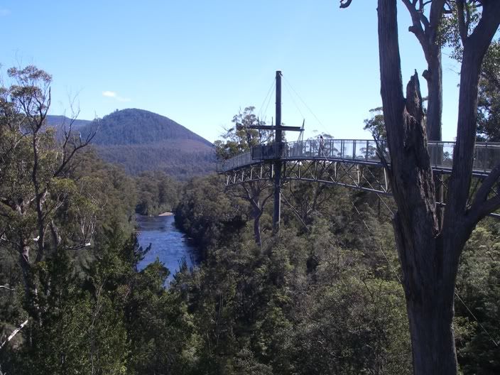
This is a cantilevered section that offers some grand views:
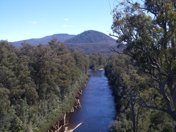
The confluence of the Picton(left) and the Huon(right) rivers. The Huon is a lovely river that sadly, and inevitably, runs through Huonville.
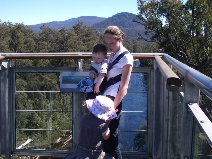
My daughter didn't like the motion out on the cantilever, and I was exacerbating the problem. So we made our way off(it's a one-way path through the treetops, except for the spur of the canitlever). Down below, at the riverside, there is a track that takes you upstream to beyond the fork, and it was here we crossed:
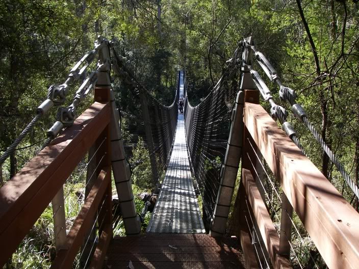
Again, Charlotte didn't like the motion of the bridge, and I wasn't helping with my yelling "Mola Ram! Prepare to meet Kali!" But she made it. And then we had to cross another one
And so we wandered back down the other bank, to the visitor's centre. Another view of the Huon:
And another:
Note the chunk of tree wedged more than four metres above the waterline. How do you suppose that got there? HINT: I have a friend who white-water rafts down here.
Two Saturdays well spent!
This is on the walk in to Russell Falls. Your minds eye sees dinosaurs amongst this.
Russell Falls, or as much as I could get from the platform below.
Gangeroo
If you drive up into the hills, there are skiing fields. It's almost summer here, and yet:
Snow! Snow, in the same sector!
This is Lake Dobson, one of the smaller bodies that feed Russell Falls. Like most of the freshwater lakes in central Tasmania, it was probably dumped by a glacier. We walked a track that runs the circumference of the lake, and then the sun was going down; time to go home.
This weekend past we headed the opposite direction. 90 minutes south of Hobart, the local logging authority, Forestry Tasmania, has set up a nice propoganda piece. One of those gantries that allows you to walk at treetop level and take in the sights.
This is a cantilevered section that offers some grand views:
The confluence of the Picton(left) and the Huon(right) rivers. The Huon is a lovely river that sadly, and inevitably, runs through Huonville.
My daughter didn't like the motion out on the cantilever, and I was exacerbating the problem. So we made our way off(it's a one-way path through the treetops, except for the spur of the canitlever). Down below, at the riverside, there is a track that takes you upstream to beyond the fork, and it was here we crossed:
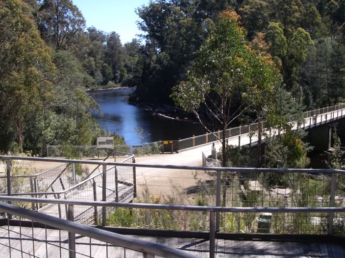
Again, Charlotte didn't like the motion of the bridge, and I wasn't helping with my yelling "Mola Ram! Prepare to meet Kali!" But she made it. And then we had to cross another one
And so we wandered back down the other bank, to the visitor's centre. Another view of the Huon:
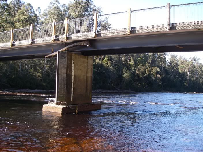
And another:
Note the chunk of tree wedged more than four metres above the waterline. How do you suppose that got there? HINT: I have a friend who white-water rafts down here.
Two Saturdays well spent!