Vacation pics of cottage country, Ontario (56k avoid)
Posted: 2009-08-24 02:53pm
Hey folks, we just got back from a mini-vacation in Collingwod Ontario, which is a few hours north of Toronto.
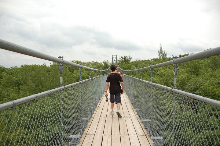
The suspension bridge at the Scenic Caves park at Blue Mountain, five minutes from Collingwood Ontario. We normally tend to go a bit further afield for our vacations, but it's certainly much cheaper to stay near home. Collingwood is only a couple of hours drive from Toronto.
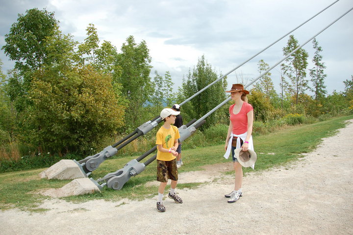
Rebecca and the boys at the end of the bridge, where the main cables tie into the anchor blocks.
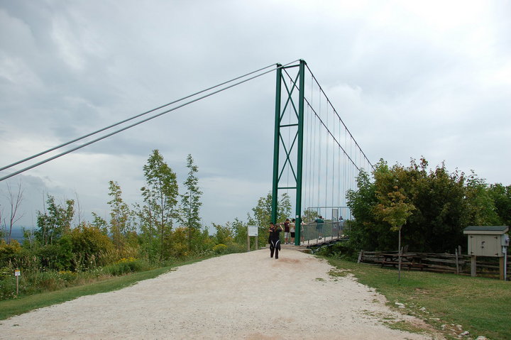
The bridge.
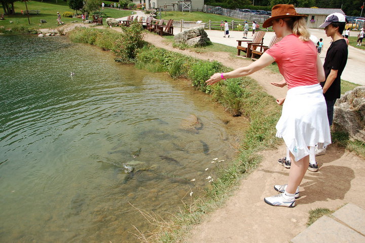
Rebecca and the boys feeding the fish. They had a fish pond near the bridge with some pretty big fish in it, including rainbow trout. It was kind of neat watching them thrash about trying to get the food.

Of course, that much activity will often bring company, and this bird decided to drop in on the feeding.
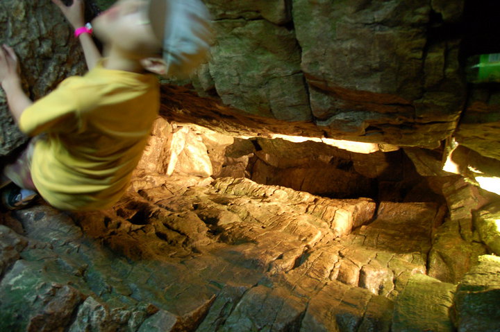
David in the Scenic Caves area, moving too fast for my camera exposure in the dim light. The whole area is full of crevasses because the rock is falling away from the walls but it's falling really slowly.

Matthew and David at one of the lookout points up higher on the rock wall. You can see the whole bay from that vantage point, although it was a bit hazy on this day.
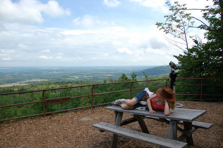
Rebecca relaxing on the picnic table.

Yes, that's right: Blue Mountain has a giant rock penis.

More rocky moss-covered crevasses.

Funny how these dimly lit caves and staircases look so much brighter in pictures, but of course, that would be due to the long photo exposure.
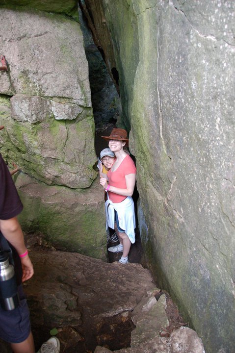
Rebecca and David squeezing through an opening in the rock. This is not the tightest opening; there's actually an opening called "Fat Man's Misery" which is only about 14" wide at the narrowest point, but I don't have a picture because I had to take off my camera bag and hand it through the gap or I wouldn't have been able to fit through myself.

My boy Matthew. He's really growing up, isn't he?
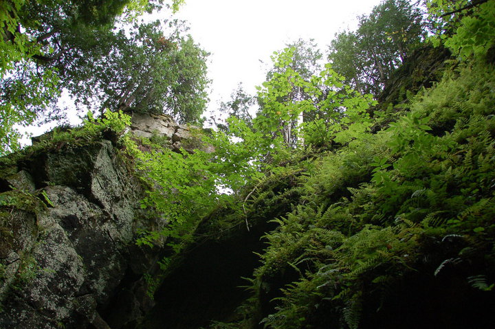
The look from down inside the caves up toward the sky.
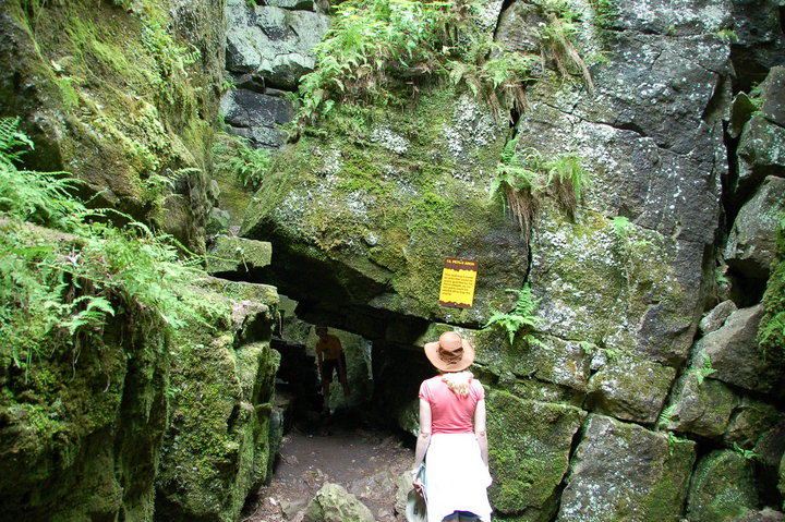
Rebecca looking at one of the tight openings to the area. The natives used to use this location as a defensible chokepoint, since attackers would have to crouch down and move through the gap in single-file.
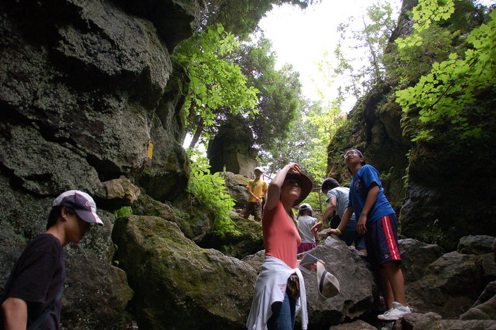
Rebecca turning to look at the Indian Chief.
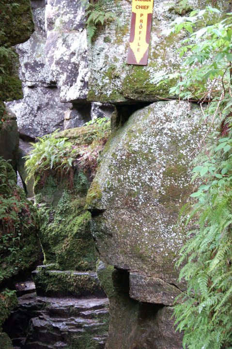
The Indian Chief himself! Notice how this natural rock formation seems to form a facial profile, with a brow, a nose, and even a mouth.
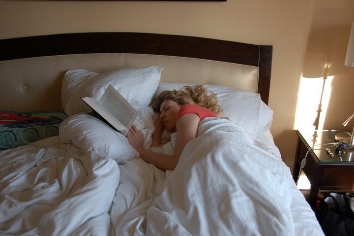
Rebecca taking a nap at the end of the day. Caving can be hard work.

Day Two of our vacation in Collingwood! We went to Wasaga Beach on this day.
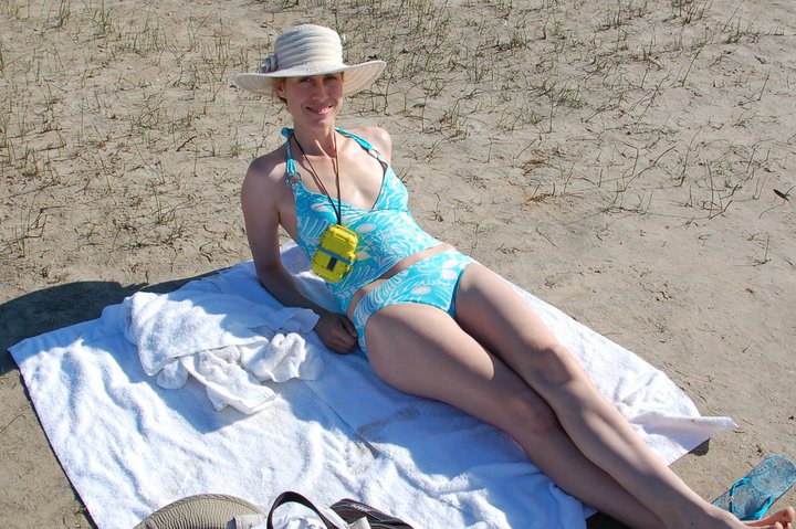
Rebecca settling in. She's a beach towel girl, not a swimmer girl. I went into the water with the boys, while she relaxed on the beach.
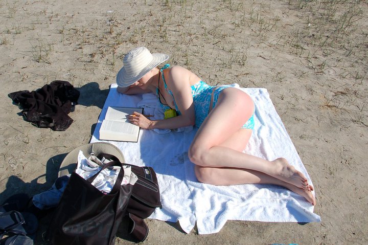
She likes to settle in with a book. In this case, the book is "Sex and War", which she highly recommended. I'll have to check it out sometime.

The boys and I, marching into the water. This is a freshwater beach on Georgian Bay, off Lake Huron. Actually, one thing that bothered me about the area was the constant use of "Huronia" and "Huron" on all the tourist literature and landmarks of the area, yet I never saw a single native person anywhere. All of these white people, talking about the proud Huron heritage of the region even though you could drive around the region for hours and never see a single native face. So what happened to the Huron, you ask? Take a wild guess.
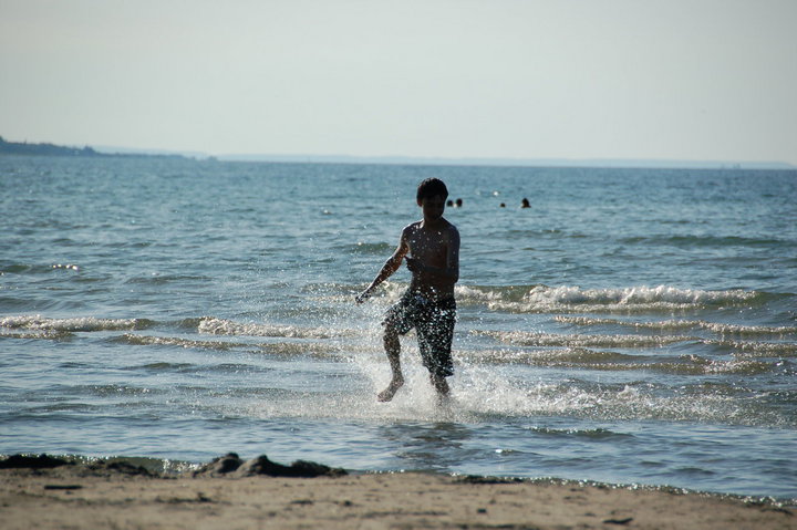
Matthew running out of the water.
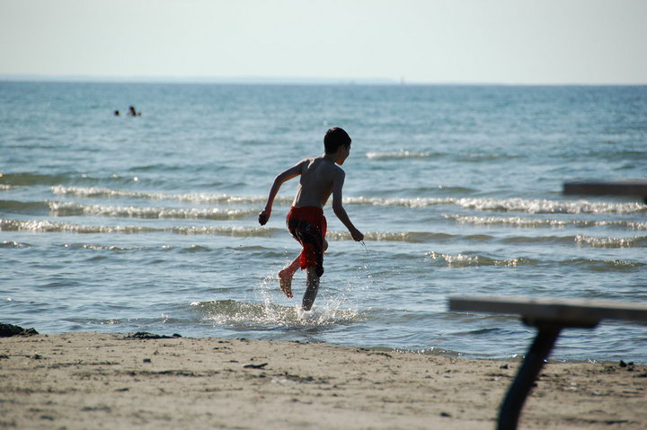
David running back in.
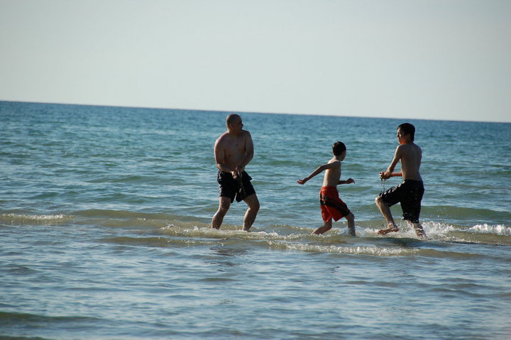
The boys and I having a mud fight in the water. David decided that the wet sand from the bottom of the beach would make excellent projectiles, and so he started flinging the stuff. You can imagine how things progressed from there.

An inukshuk! This is apparently a traditional native structure which is supposed to resemble a person, and you can look up its cultural significance if you like. This particular specimen was located at a park between Collingwood and Wasaga Beach.
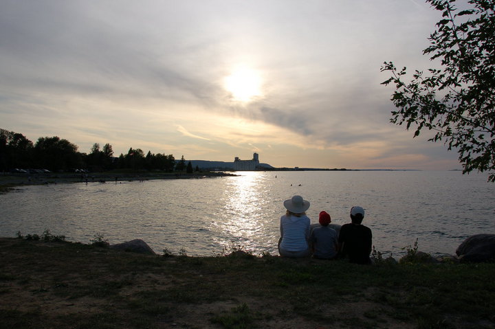
Rebecca and the boys watching the evening Sun.
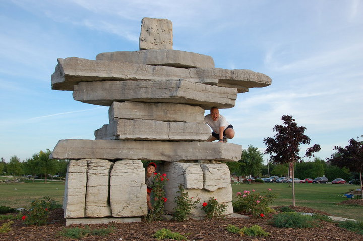
Me and David on and around the Inukshuk.

Rebecca and the boys posing in front of a monument to the native god Kitchikewana. This monument is located in Penetanguishene. Well, we might have pushed the natives themselves onto reserves, but at least we kept their names for places.

David looking out at the Marina. We took a boat cruise around South Georgian Bay on this day, to see the "Thirty Thousand Islands" region. Interestingly enough, the name is not hyperbole. In fact, there are more than thirty thousand islands up there, although a lot of them are tiny.
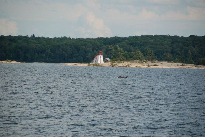
There's always a light house somewhere. And where there's a light house, people will always take out their cameras and shoot.
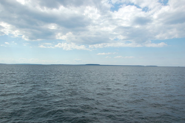
Giant's Tomb! This is supposedly the resting place of the colossal native deity known as Kitchikewana. According to native legend, he was spurned by a woman, and in his anger and frustration, he tore pieces out of the land with his mighty hand and hurled the crumbled bits into the lake, where they became the thirty thousand islands. Afterwards, he collapsed and died of a broken heart, and Giant's Tomb Island is his final resting place.
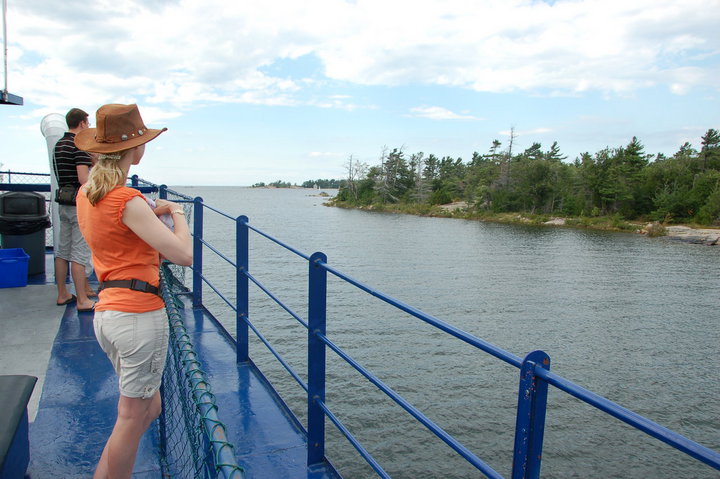
Rebecca checking out the islands, while I checked out Rebecca.

Rebecca and the boys on the boat.
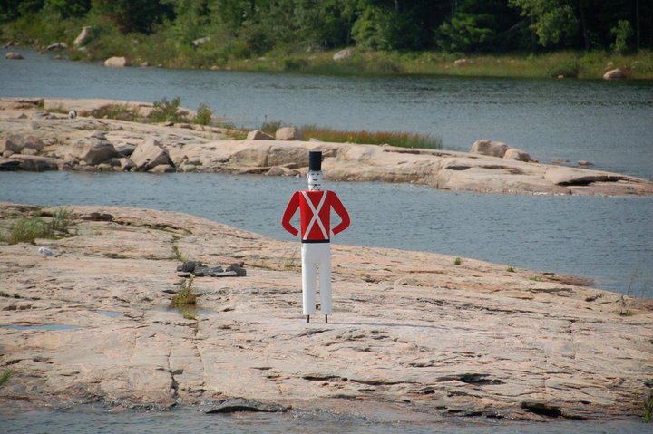
This guy is a bit of a local icon: a wooden painted British redshirt who stands on guard for Canada, to watch for American tourists
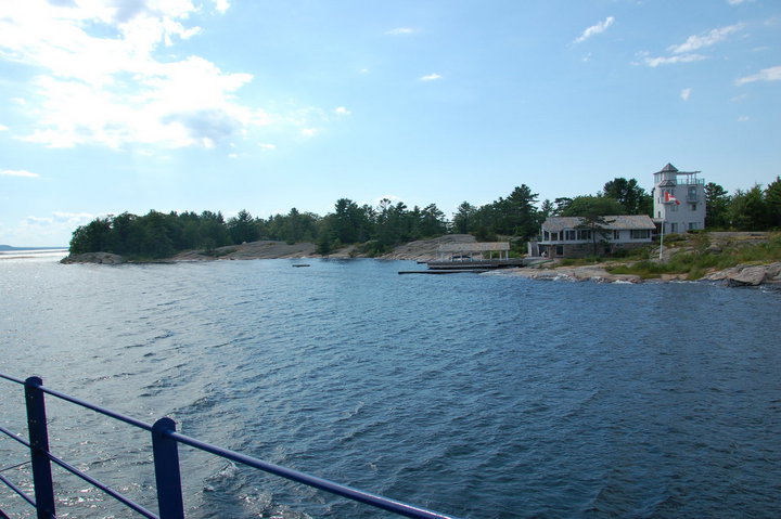
Wouldn't it be cool to own an island? Many of the thirty thousand islands are occupied by a single family dwelling, used as a summer cottage and reachable only by boat.
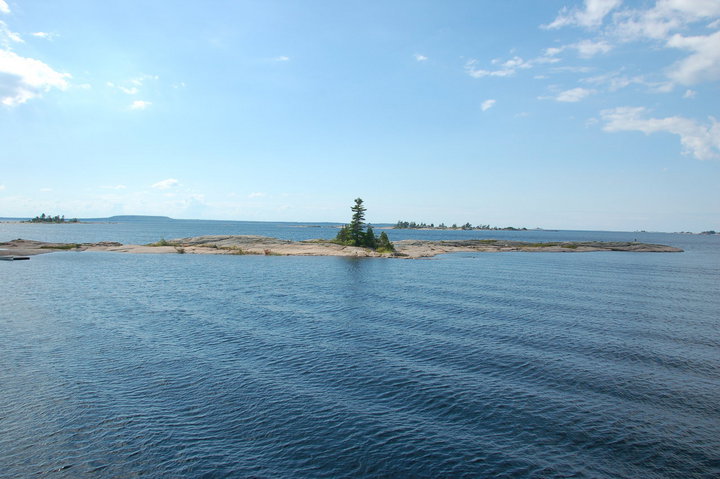
They say that life finds a way. These harsh rocky islands of the Canadian Shield geologic formation should be barren, but somehow trees and bushes sprout and grow anyway.
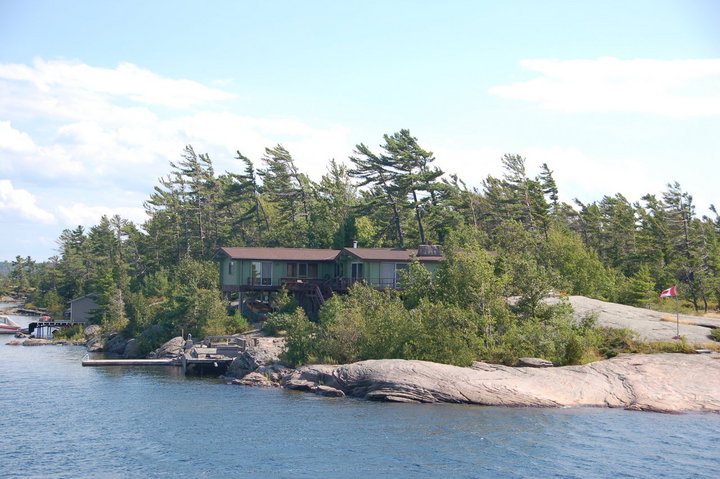
Another island cottage. Notice how the trees are all permanently windswept by the stiff northwest wind coming from the larger part of Lake Huron.

The boat is turning toward the sun now. I always liked the way the sunlight shines off the water at this time of day.

This is a somewhat iconic Canadian cultural image: the rocky island with the windblown pines. The "Group of Seven" artists made paintings of very similar scenes, which every Canadian schoolchild is required to see in art class until he gets sick of them.
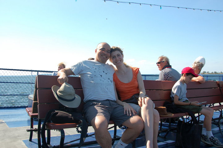
Rebecca and me! She's definitely aged better than me.
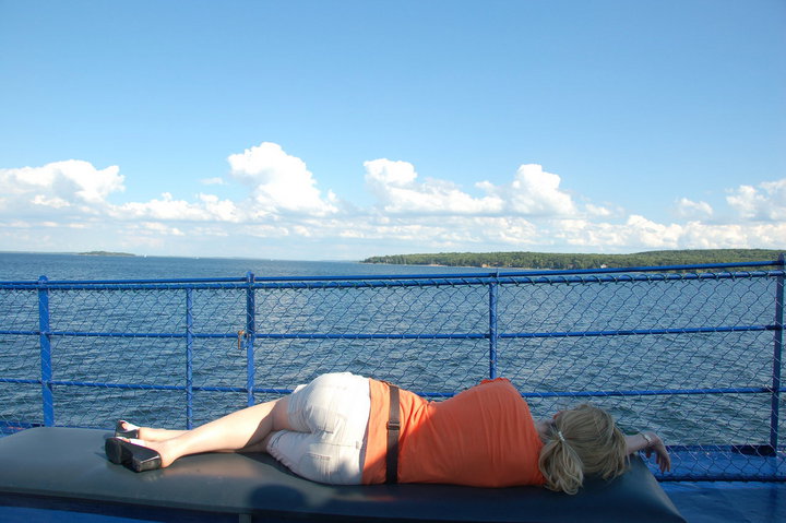
Rebecca taking a capnap on the way back to the mainland.
The suspension bridge at the Scenic Caves park at Blue Mountain, five minutes from Collingwood Ontario. We normally tend to go a bit further afield for our vacations, but it's certainly much cheaper to stay near home. Collingwood is only a couple of hours drive from Toronto.
Rebecca and the boys at the end of the bridge, where the main cables tie into the anchor blocks.
The bridge.
Rebecca and the boys feeding the fish. They had a fish pond near the bridge with some pretty big fish in it, including rainbow trout. It was kind of neat watching them thrash about trying to get the food.
Of course, that much activity will often bring company, and this bird decided to drop in on the feeding.
David in the Scenic Caves area, moving too fast for my camera exposure in the dim light. The whole area is full of crevasses because the rock is falling away from the walls but it's falling really slowly.
Matthew and David at one of the lookout points up higher on the rock wall. You can see the whole bay from that vantage point, although it was a bit hazy on this day.
Rebecca relaxing on the picnic table.
Yes, that's right: Blue Mountain has a giant rock penis.
More rocky moss-covered crevasses.
Funny how these dimly lit caves and staircases look so much brighter in pictures, but of course, that would be due to the long photo exposure.
Rebecca and David squeezing through an opening in the rock. This is not the tightest opening; there's actually an opening called "Fat Man's Misery" which is only about 14" wide at the narrowest point, but I don't have a picture because I had to take off my camera bag and hand it through the gap or I wouldn't have been able to fit through myself.
My boy Matthew. He's really growing up, isn't he?
The look from down inside the caves up toward the sky.
Rebecca looking at one of the tight openings to the area. The natives used to use this location as a defensible chokepoint, since attackers would have to crouch down and move through the gap in single-file.
Rebecca turning to look at the Indian Chief.
The Indian Chief himself! Notice how this natural rock formation seems to form a facial profile, with a brow, a nose, and even a mouth.
Rebecca taking a nap at the end of the day. Caving can be hard work.
Day Two of our vacation in Collingwood! We went to Wasaga Beach on this day.
Rebecca settling in. She's a beach towel girl, not a swimmer girl. I went into the water with the boys, while she relaxed on the beach.
She likes to settle in with a book. In this case, the book is "Sex and War", which she highly recommended. I'll have to check it out sometime.
The boys and I, marching into the water. This is a freshwater beach on Georgian Bay, off Lake Huron. Actually, one thing that bothered me about the area was the constant use of "Huronia" and "Huron" on all the tourist literature and landmarks of the area, yet I never saw a single native person anywhere. All of these white people, talking about the proud Huron heritage of the region even though you could drive around the region for hours and never see a single native face. So what happened to the Huron, you ask? Take a wild guess.
Matthew running out of the water.
David running back in.
The boys and I having a mud fight in the water. David decided that the wet sand from the bottom of the beach would make excellent projectiles, and so he started flinging the stuff. You can imagine how things progressed from there.
An inukshuk! This is apparently a traditional native structure which is supposed to resemble a person, and you can look up its cultural significance if you like. This particular specimen was located at a park between Collingwood and Wasaga Beach.
Rebecca and the boys watching the evening Sun.
Me and David on and around the Inukshuk.
Rebecca and the boys posing in front of a monument to the native god Kitchikewana. This monument is located in Penetanguishene. Well, we might have pushed the natives themselves onto reserves, but at least we kept their names for places.
David looking out at the Marina. We took a boat cruise around South Georgian Bay on this day, to see the "Thirty Thousand Islands" region. Interestingly enough, the name is not hyperbole. In fact, there are more than thirty thousand islands up there, although a lot of them are tiny.
There's always a light house somewhere. And where there's a light house, people will always take out their cameras and shoot.
Giant's Tomb! This is supposedly the resting place of the colossal native deity known as Kitchikewana. According to native legend, he was spurned by a woman, and in his anger and frustration, he tore pieces out of the land with his mighty hand and hurled the crumbled bits into the lake, where they became the thirty thousand islands. Afterwards, he collapsed and died of a broken heart, and Giant's Tomb Island is his final resting place.
Rebecca checking out the islands, while I checked out Rebecca.
Rebecca and the boys on the boat.
This guy is a bit of a local icon: a wooden painted British redshirt who stands on guard for Canada, to watch for American tourists
Wouldn't it be cool to own an island? Many of the thirty thousand islands are occupied by a single family dwelling, used as a summer cottage and reachable only by boat.
They say that life finds a way. These harsh rocky islands of the Canadian Shield geologic formation should be barren, but somehow trees and bushes sprout and grow anyway.
Another island cottage. Notice how the trees are all permanently windswept by the stiff northwest wind coming from the larger part of Lake Huron.
The boat is turning toward the sun now. I always liked the way the sunlight shines off the water at this time of day.
This is a somewhat iconic Canadian cultural image: the rocky island with the windblown pines. The "Group of Seven" artists made paintings of very similar scenes, which every Canadian schoolchild is required to see in art class until he gets sick of them.
Rebecca and me! She's definitely aged better than me.
Rebecca taking a capnap on the way back to the mainland.
