Ever Wanted to Hike the Rocky Mountains? (VERY pic-heavy)
Posted: 2006-07-27 03:13am
Well, now you can hike them vicariously through me! From June 30 to July 7, my Boy Scout troop and I went on a backpacking trip to the Rawah Wilderness, and I have, from a collective pile of about 750 pictures, culled the best to share with you.
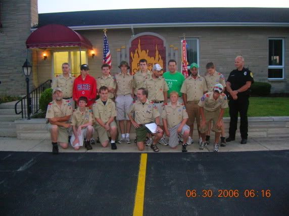
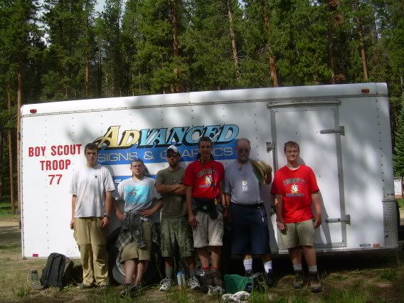
Us all ready to go. That's me in the back row, third from the left.
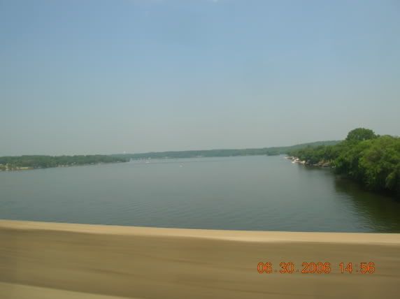
Crossing the Mississippi out of Illinois and into Iowa. Eighteen more hours of flat land!
We're almost there, but after twenty-four hours of straight driving (excepting rest stops), some of us are desperate to piss.
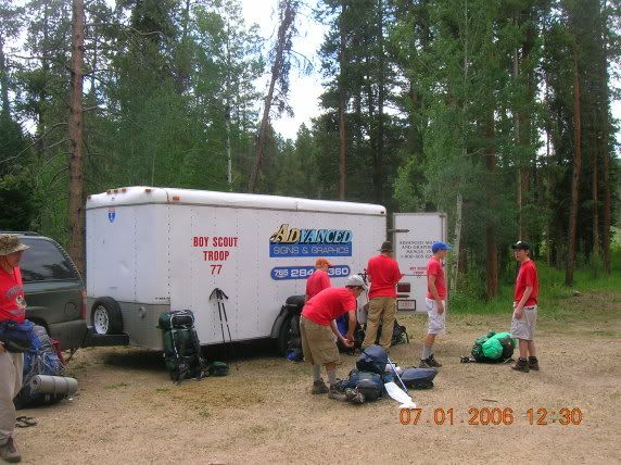
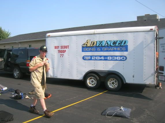
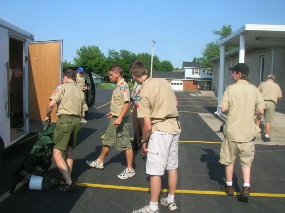
The first group unloading and getting ready to pack out. The troop was larger than the maximum allowed number of people per group, so we split into two hiking groups.
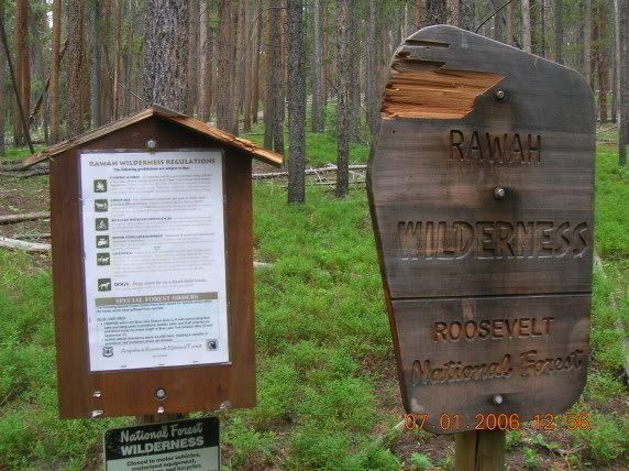
This is a sign and list of regulations -- DO NOT USE FIRE, e.g. -- which greeted us as we hiked out, and greeted the other group as they hiked in. We started at opposite ends of the trail and met in the middle for two days to peak-bag.
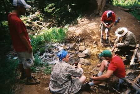
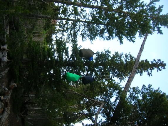
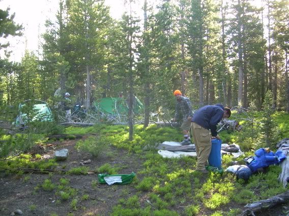
Water pumping on the first day.
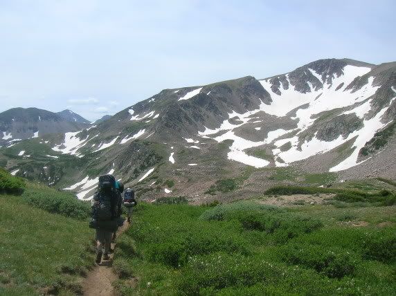
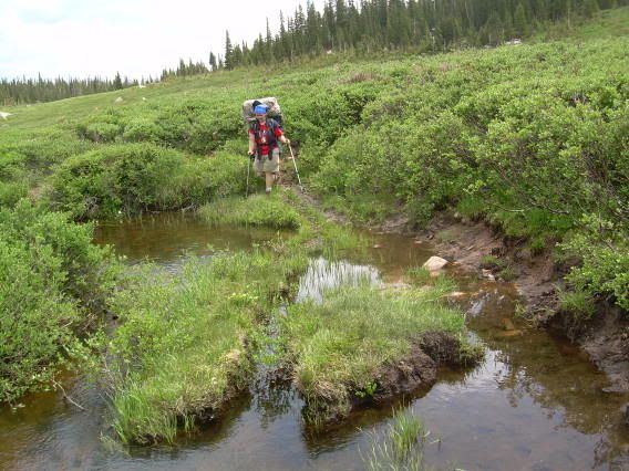
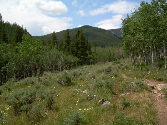
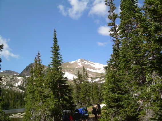
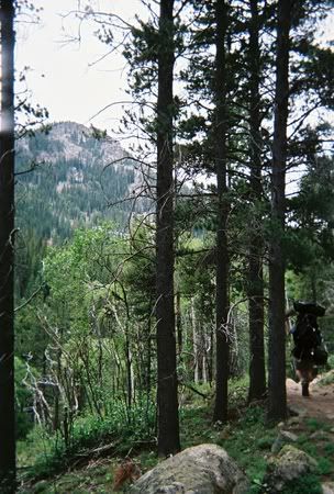
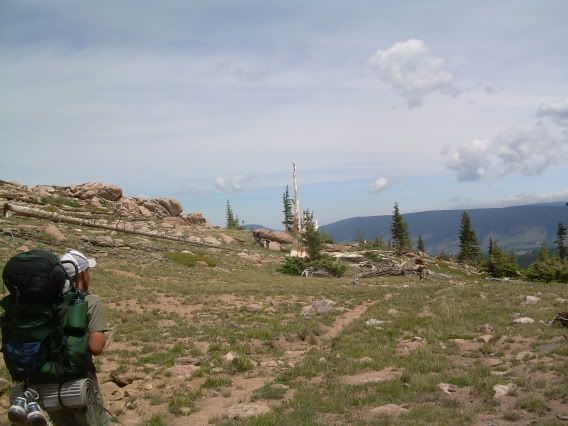
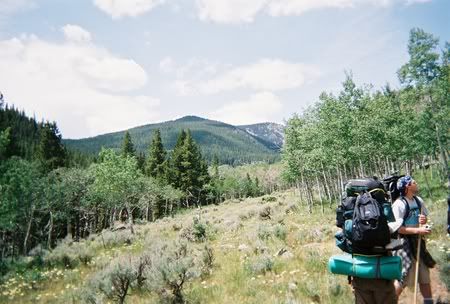
Hiking in to the mountains.
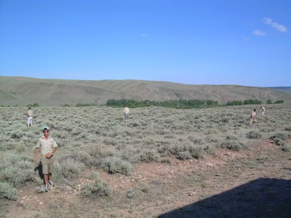
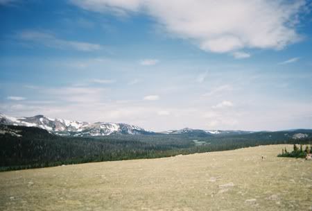
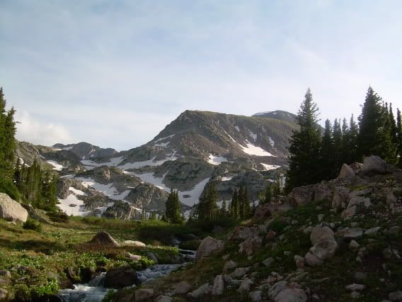
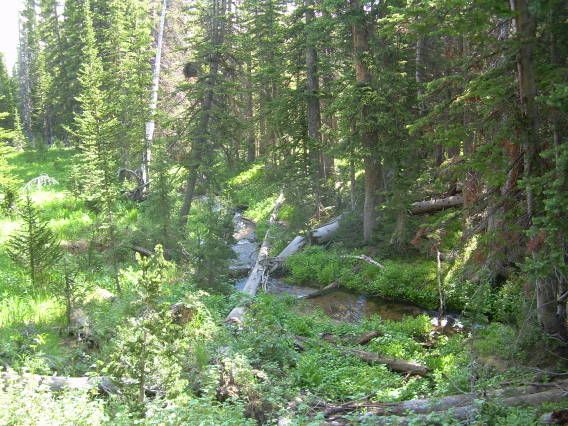
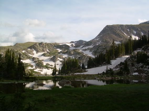
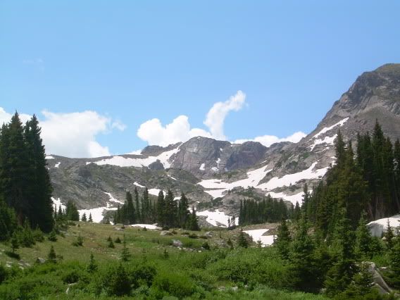
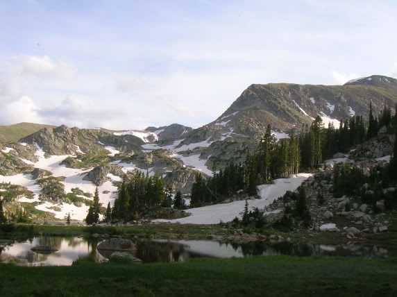
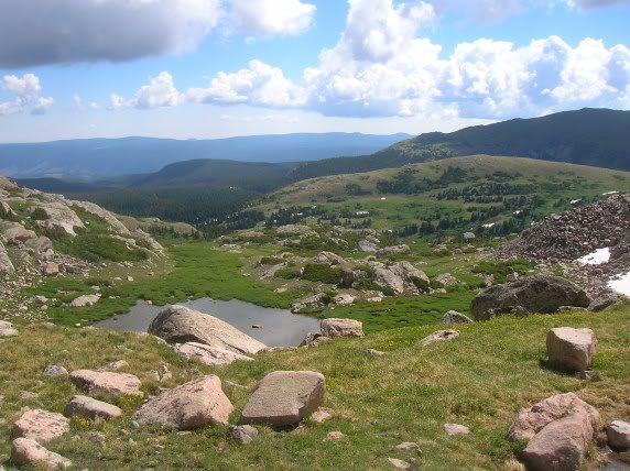
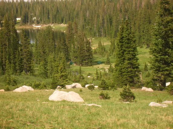
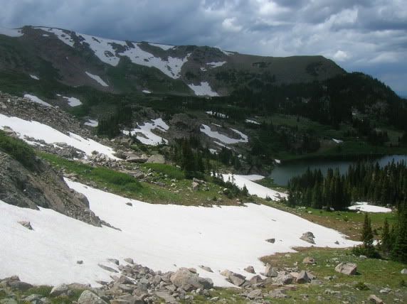
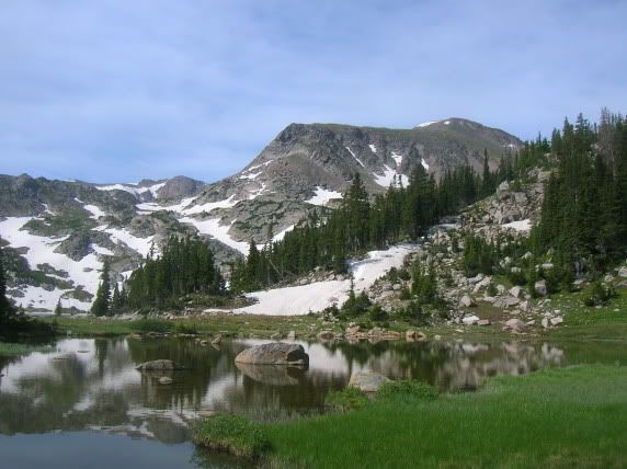
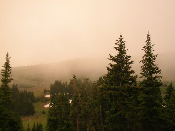
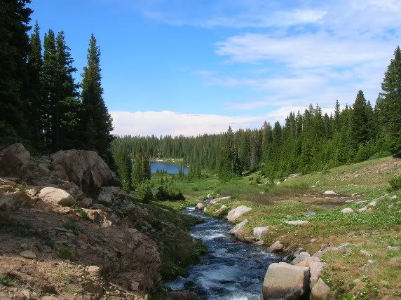
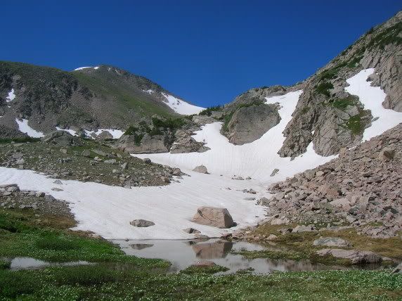
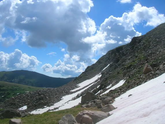
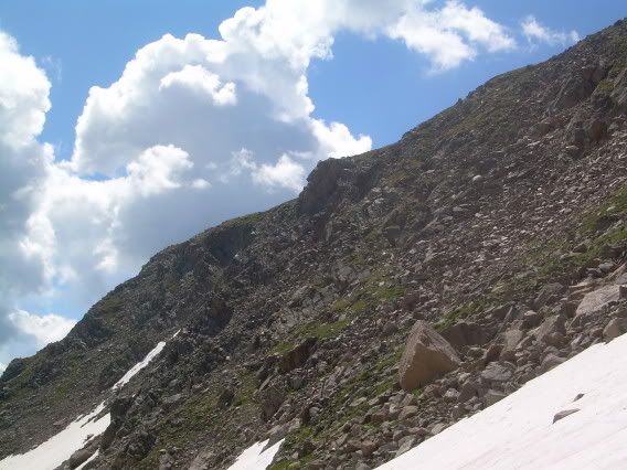
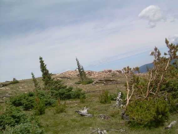
Some beautiful wilderness pictures.
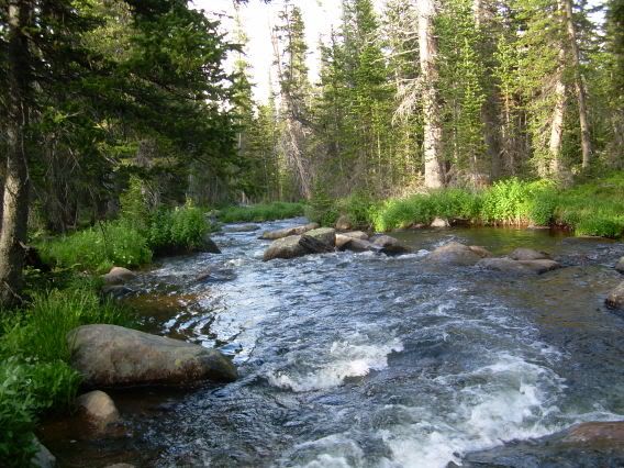
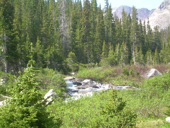
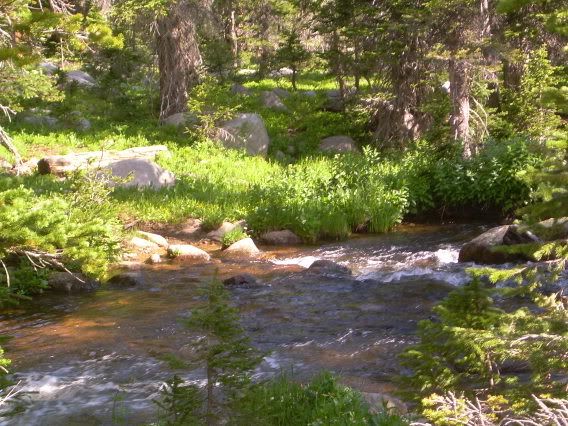
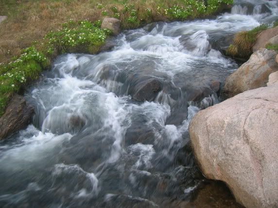
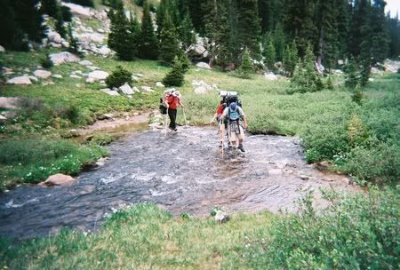
A stream, crossed on the second day of the hike.
Pumping our water bottles full at that stream.
Traversing a tributary to Camp Lake (IIRC, that's its name) on the way to lunch.
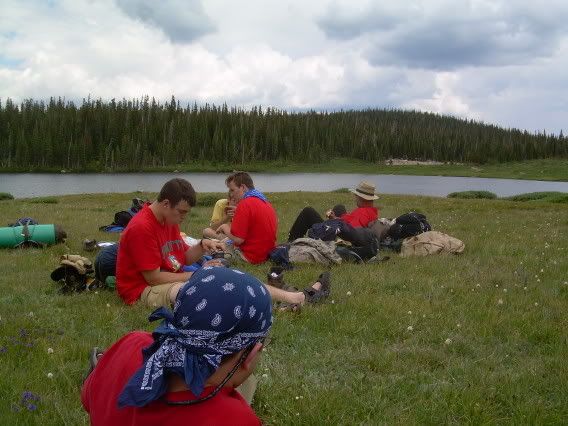
Lunch on the second day.
This was on our second night in. After a largely downhill hike, we were recuperating well from the brutal first day, which was uphill and vicious to our oxygen-deprived lungs.
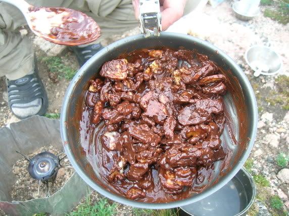
Mmm, apple fritters for breakfast on the third day!
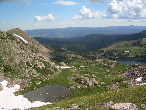
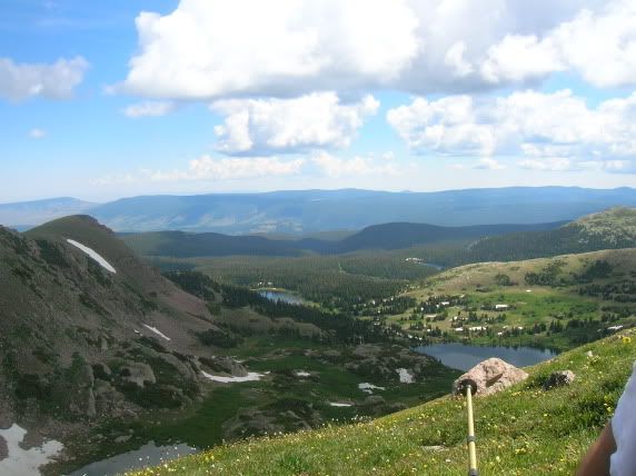
Looking to the east toward North Rawah Peak across Lake Two, I believe.
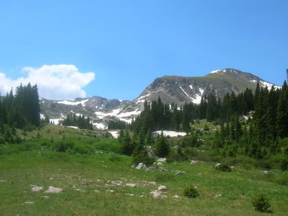
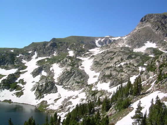
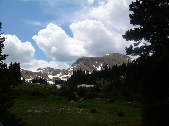
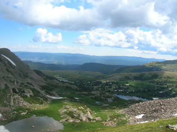
More beautiful pics.
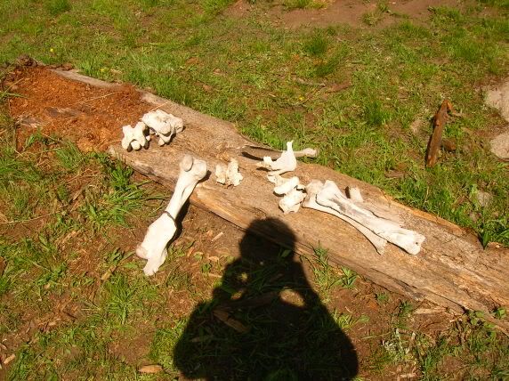
Nature is cruel.
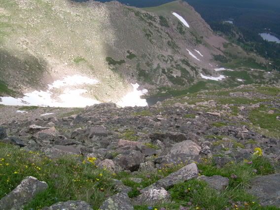
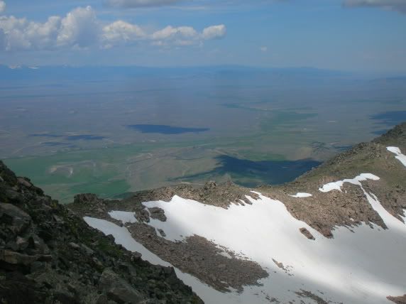
Looking down from a pass into McIntyre lake (IIRC).
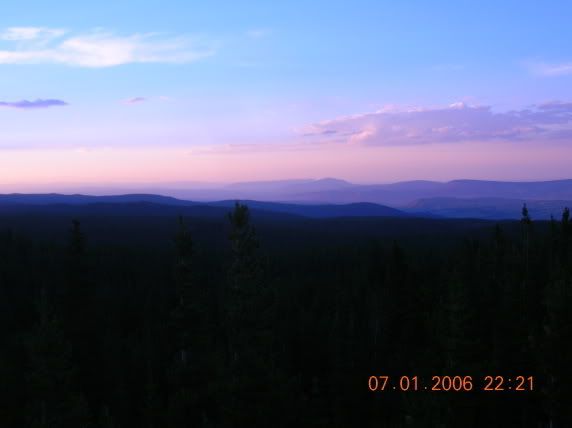
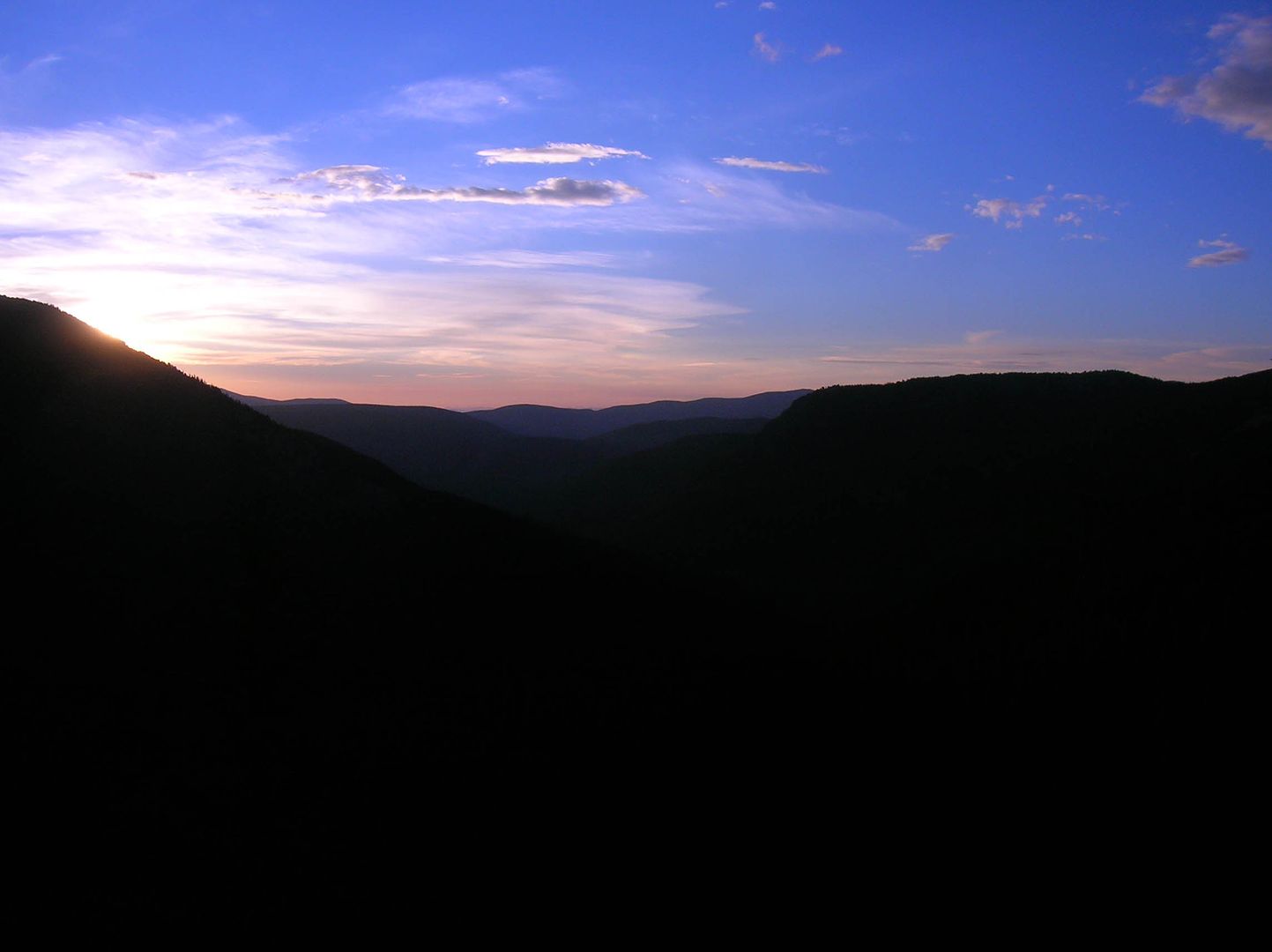
Sunset inlined for format -- this is a great desktop background!
I especially like the halo of light around this mountain.
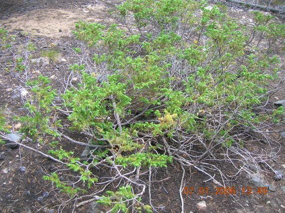
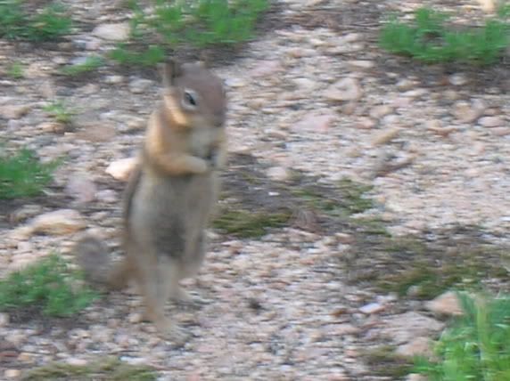
Neat little piece of wildlife.
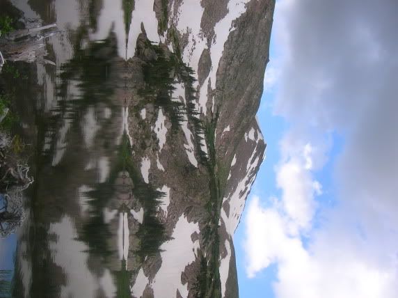
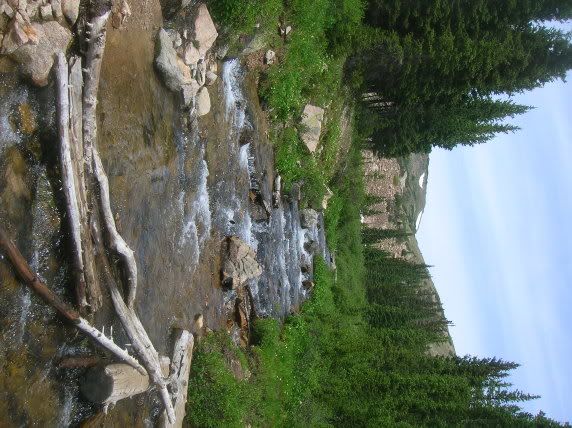
(This picture is sideways.)
Crossing the river toward the future campsite.
Looking down the river towards our campsite and Lake 2.
Campsite for the two days we stayed together as a troop. Actually, we ate together for dinner, and we hiked up to North Rawah Peak, but the groups camped separately. My group camped down by the river, and the other group camped up closer to Rawah Lake 3.
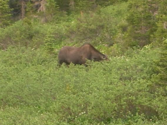
We spotted a moose grazing in the brush nearby.
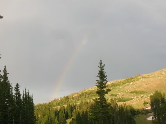
Rainbow over a mountain.
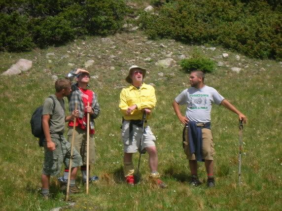
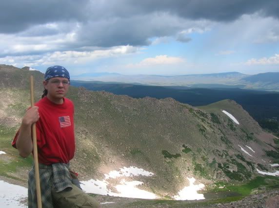
Leaders conferring; I'm second from left, with the blue bandanna on.
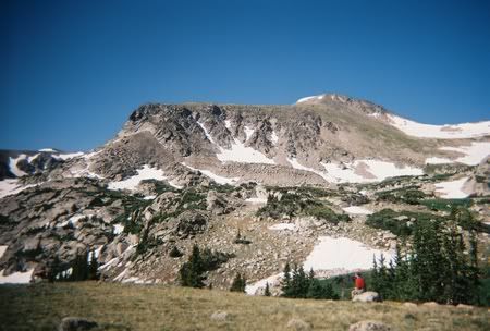
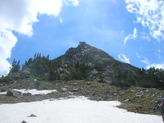
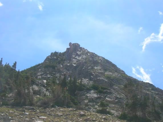
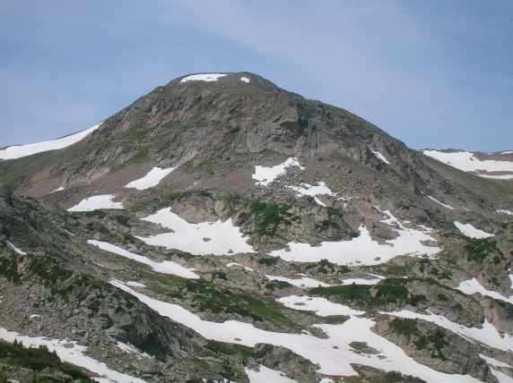
Looking up the North Rawah Peak, which we're going to scale on the fourth of July.
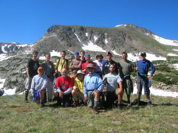
Us as a troop, before we attempt to scale the mountain.
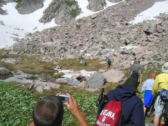
Hiking toward the mountain.
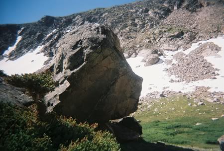
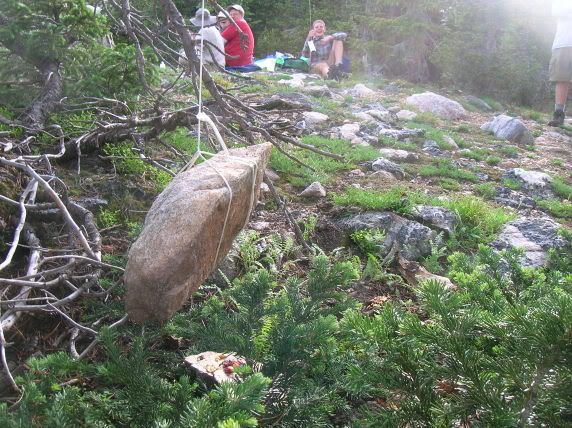
A mysterious standing boulder at the base of the North Peak.
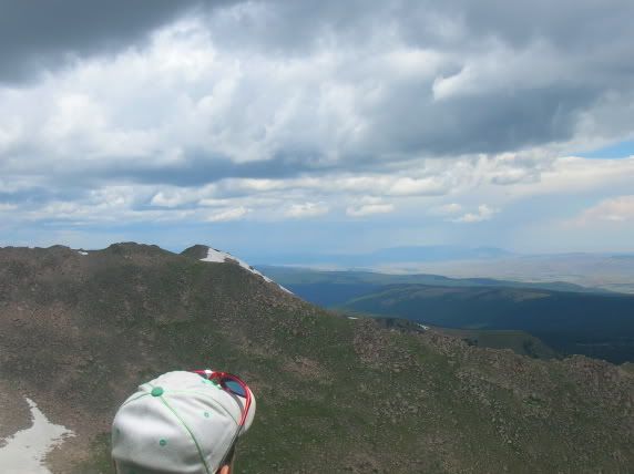
Looking up. Intimidating, isn't it?
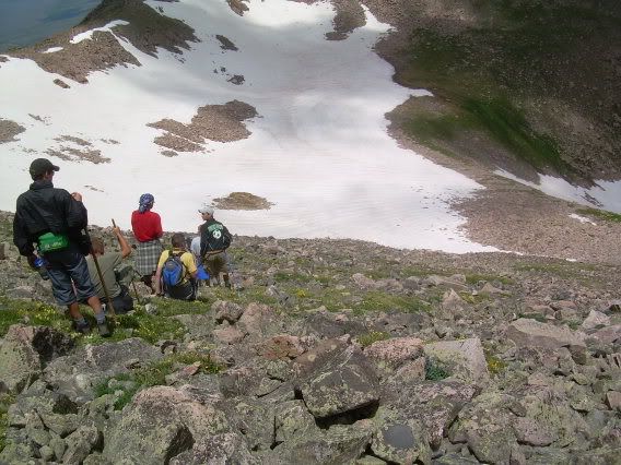
Staying with the stragglers.
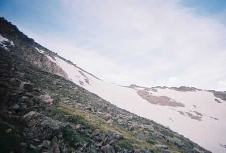
More looking up. Actually, more like across.
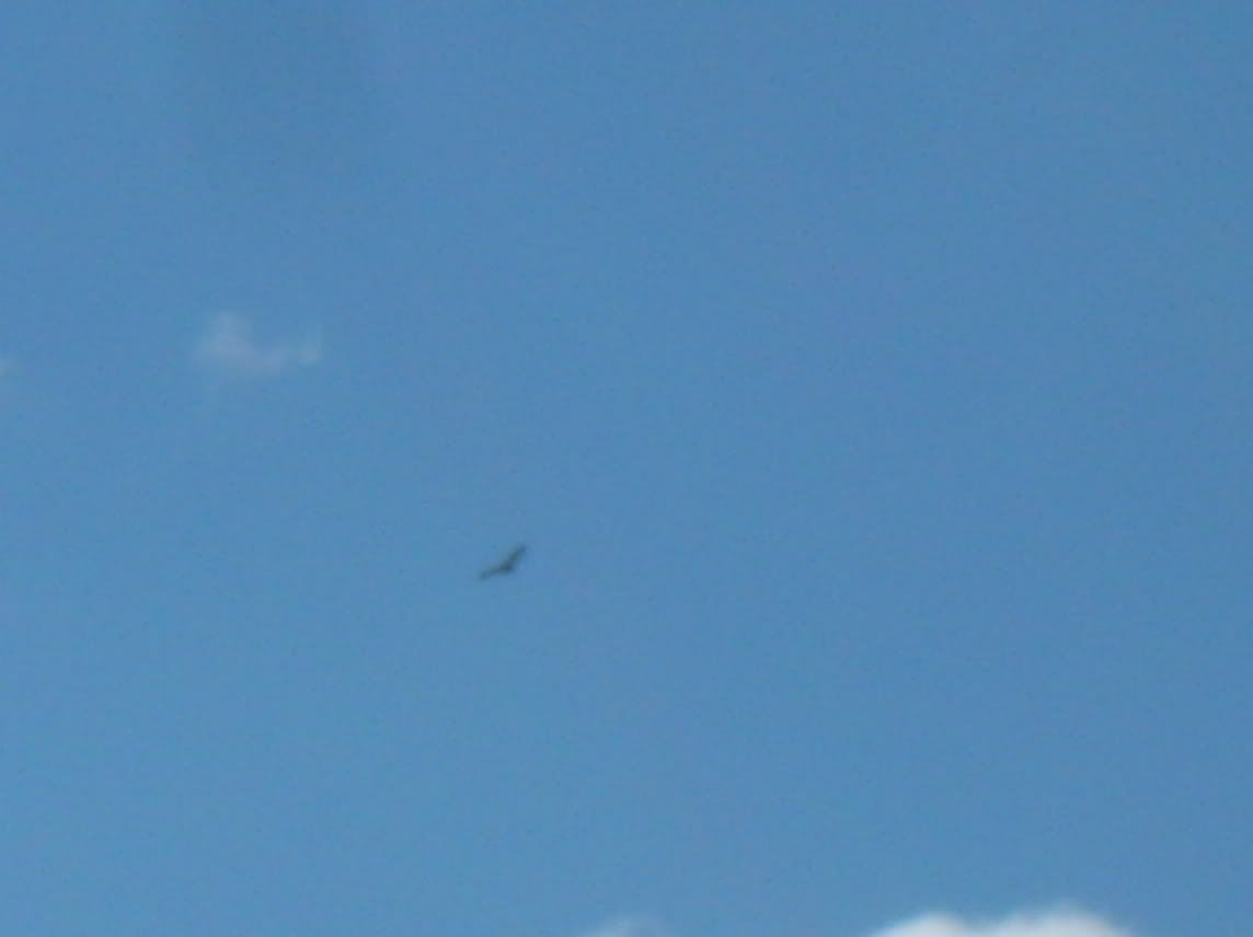
Eagle
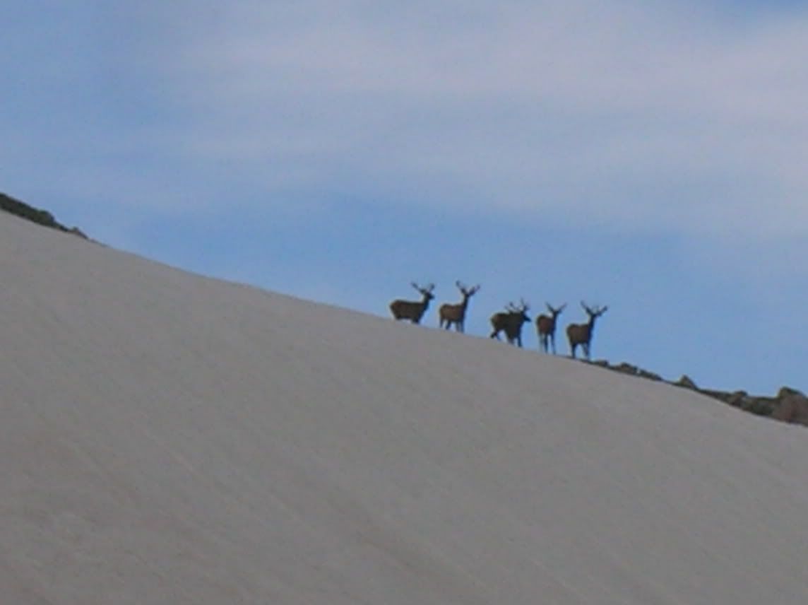
We spotted this eagle (which is something of a big deal, considering that Eagle is the highest rank in scouting) wihle were were climbing the mountain, as well as these elk:
Elk 1
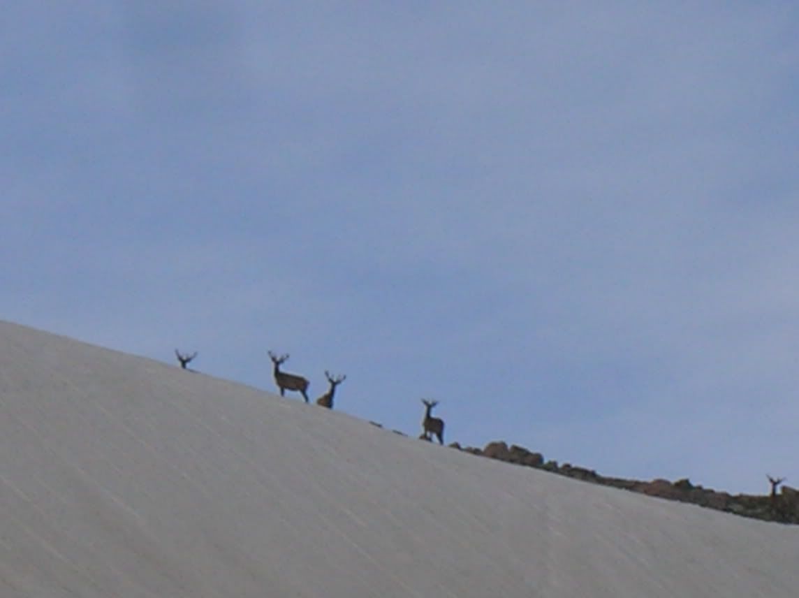
Elk 2
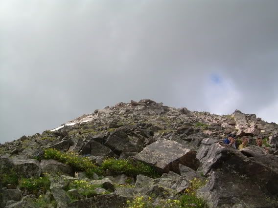
The peak, tantalizingly close. We were within 100 feet, and we had to go back down because one of our group members became very ill with altitude sickness.
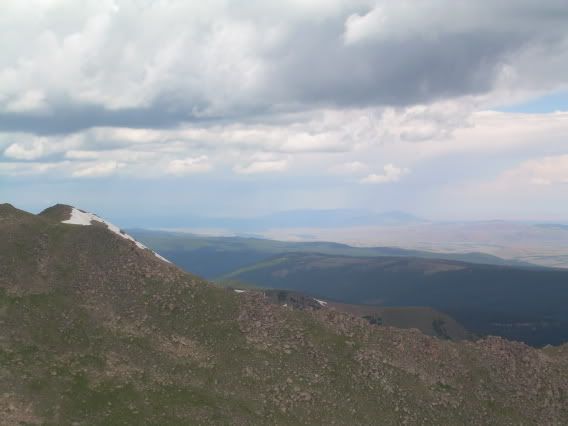
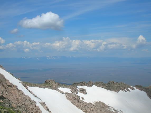
From the (almost) top of the world.
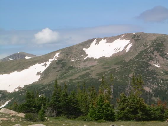
More mountaintop photos.
Me! At the top (or close thereto) of a mountain!
Look at that thunderstorm in the distance.
Looking across the crest of the mountain (we saw the Elk in the lower left-hand side of the ridge.
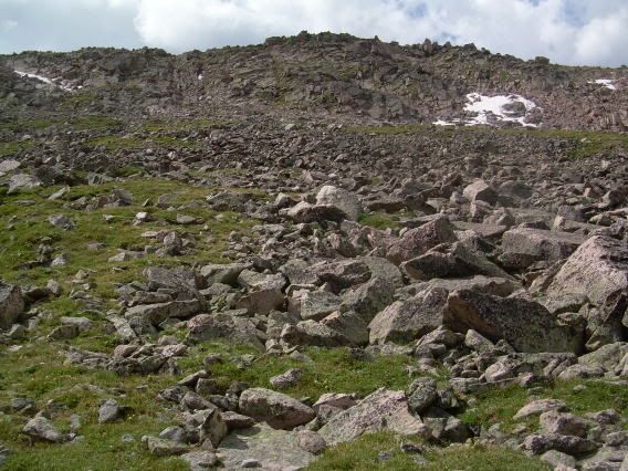
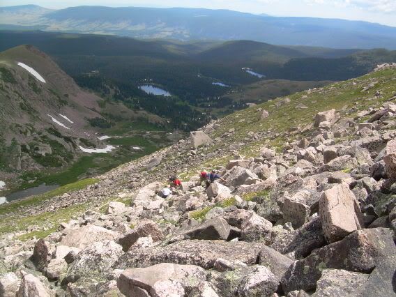
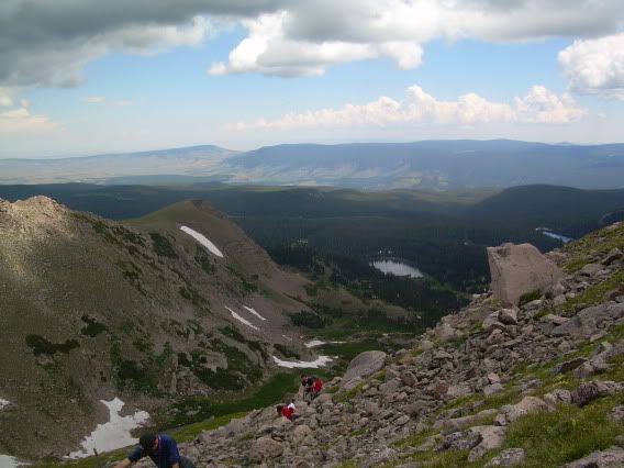
Climbing down. This should give you some sense of scale.
More climbing down; more idea of just how big those rocks are. Some of them weren't terribly stable, either; I was afraid I was going to trigger a landslide.
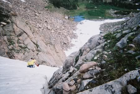
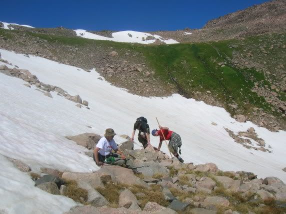
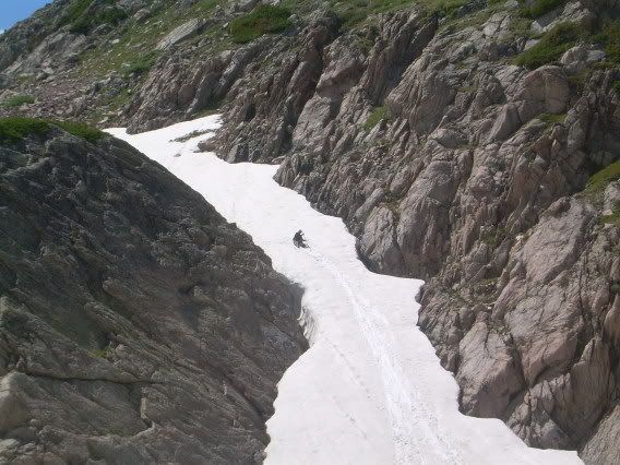
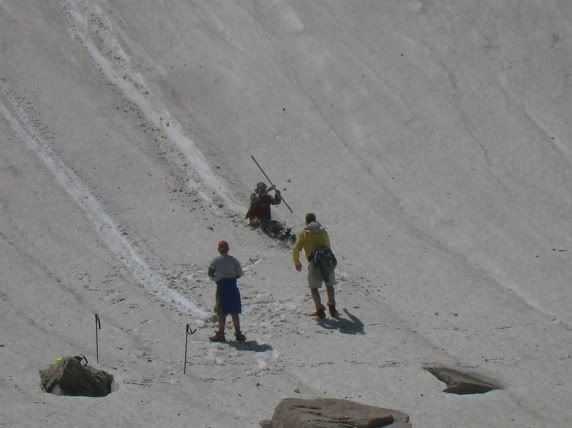
Sliding down a snowbank on the fourth of July! This is our group leader, going first. The picture should give you an idea of just how steep the snow is, and since the ambient air temperature was in the 70s, it was also very wet snow.
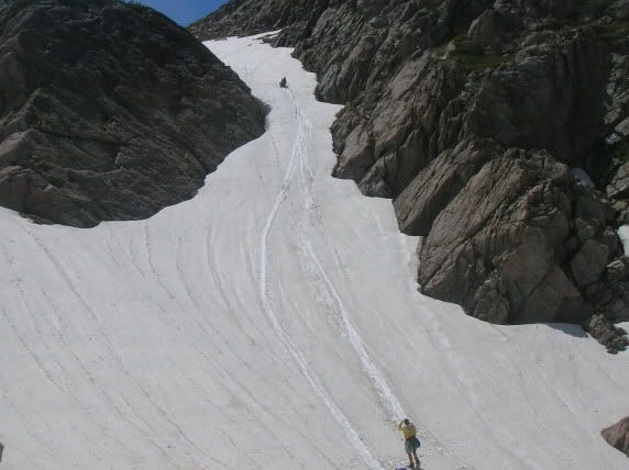
That's me, getting ready to slide.
This should give you some idea of how high up I am.
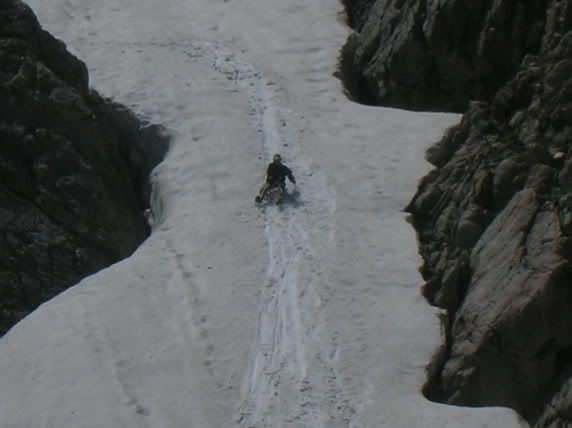
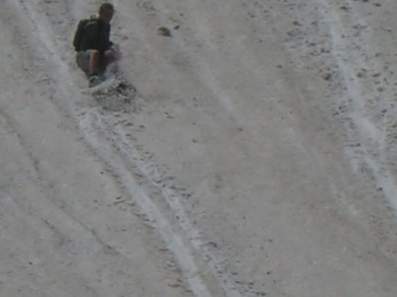
Losing control.
Wheeeee!!
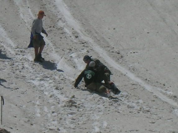
Recovering at the end, with a little help from the preceding sliders.
Ohshitohshitohshitohshit ... . (this is not me.)
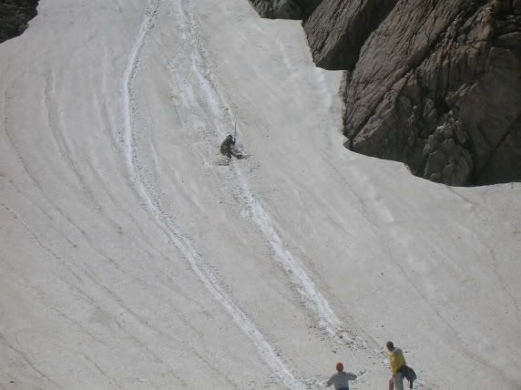
Helping someone else up at the end of the slide. In earlier pics, you can see some nasty rocks right at the end of the run; since we're two days from civilization and medical aid, it would be disastrous to let anyone run into them.
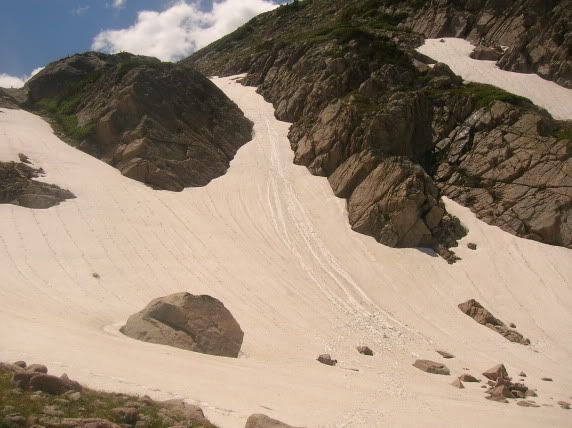
Here's the slope, after we're all done sliding. Damn, that maybe wasn't such a good idea after all.
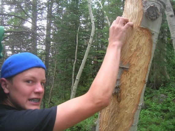
Cheeky little bastard stole some of the other group's food. Fortunately, they got him:
That's my brother holding the line. Speaking of him:

Exactly in the middle of our 11-mile hike, we stop for lunch. I consult the map.
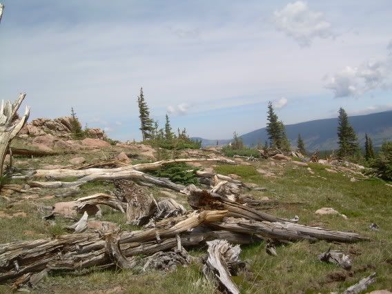
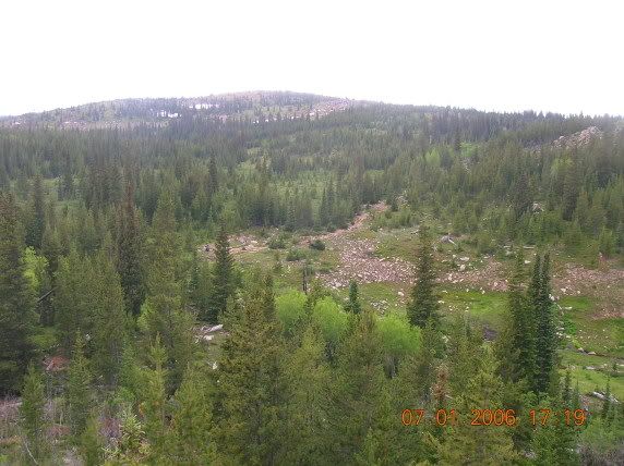
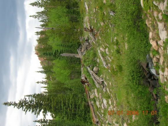
About halfway through our 11-mile hike, we stumbled out into the Big McIntyre Burn, a huge forest fire which ravaged the north part of the Rawah Wilderness Area in 1944. The forest still hasn't fully regrown.
More Big McIntyre Burn. Note that there aren't even any trees; the land is bare save grass and twisted, dead wood.
More Big Burn.
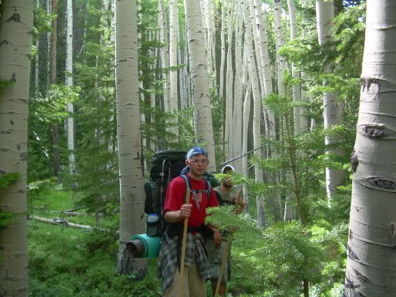
Coming out, toward the end of our 11-mile hike on the second-to-last day, we passed through some pretty amazing birch groves, which seemed very clearly demarcated from the lodgepole pine forests around. There was an abrupt transition from brown to white to brown trunks again. (That's me, by the way).
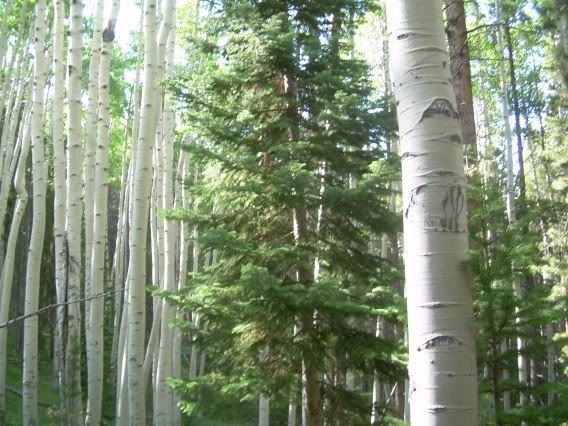
More of the birch grove.
Done at Rawah; now to pack up into the car for the hour drive into Fort Collins to shower and eat real food, then the 24-hour drive back home.
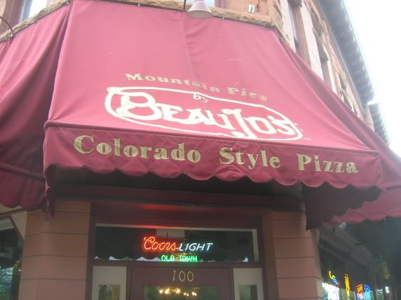
Mmm ... Beaujo's Pizzas. Wonderful food, especially to boys who have eaten nothing but camp food for an entire week.
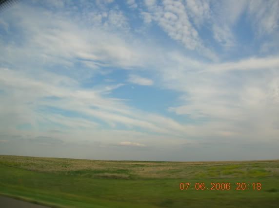
The drive home. That's western Nebraska, I believe.
We're back; we all survived. Unloading.
More unpacking. And that's how a trip ends: you unpack, and you move on with life.
Us all ready to go. That's me in the back row, third from the left.
Crossing the Mississippi out of Illinois and into Iowa. Eighteen more hours of flat land!
We're almost there, but after twenty-four hours of straight driving (excepting rest stops), some of us are desperate to piss.
The first group unloading and getting ready to pack out. The troop was larger than the maximum allowed number of people per group, so we split into two hiking groups.
This is a sign and list of regulations -- DO NOT USE FIRE, e.g. -- which greeted us as we hiked out, and greeted the other group as they hiked in. We started at opposite ends of the trail and met in the middle for two days to peak-bag.
Water pumping on the first day.
Hiking in to the mountains.
Some beautiful wilderness pictures.
A stream, crossed on the second day of the hike.
Pumping our water bottles full at that stream.
Traversing a tributary to Camp Lake (IIRC, that's its name) on the way to lunch.
Lunch on the second day.
This was on our second night in. After a largely downhill hike, we were recuperating well from the brutal first day, which was uphill and vicious to our oxygen-deprived lungs.
Mmm, apple fritters for breakfast on the third day!
Looking to the east toward North Rawah Peak across Lake Two, I believe.
More beautiful pics.
Nature is cruel.
Looking down from a pass into McIntyre lake (IIRC).
Sunset inlined for format -- this is a great desktop background!
I especially like the halo of light around this mountain.
Neat little piece of wildlife.
(This picture is sideways.)
Crossing the river toward the future campsite.
Looking down the river towards our campsite and Lake 2.
Campsite for the two days we stayed together as a troop. Actually, we ate together for dinner, and we hiked up to North Rawah Peak, but the groups camped separately. My group camped down by the river, and the other group camped up closer to Rawah Lake 3.
We spotted a moose grazing in the brush nearby.
Rainbow over a mountain.
Leaders conferring; I'm second from left, with the blue bandanna on.
Looking up the North Rawah Peak, which we're going to scale on the fourth of July.
Us as a troop, before we attempt to scale the mountain.
Hiking toward the mountain.
A mysterious standing boulder at the base of the North Peak.
Looking up. Intimidating, isn't it?
Staying with the stragglers.
More looking up. Actually, more like across.
Eagle
We spotted this eagle (which is something of a big deal, considering that Eagle is the highest rank in scouting) wihle were were climbing the mountain, as well as these elk:
Elk 1
Elk 2
The peak, tantalizingly close. We were within 100 feet, and we had to go back down because one of our group members became very ill with altitude sickness.
From the (almost) top of the world.
More mountaintop photos.
Me! At the top (or close thereto) of a mountain!
Look at that thunderstorm in the distance.
Looking across the crest of the mountain (we saw the Elk in the lower left-hand side of the ridge.
Climbing down. This should give you some sense of scale.
More climbing down; more idea of just how big those rocks are. Some of them weren't terribly stable, either; I was afraid I was going to trigger a landslide.
Sliding down a snowbank on the fourth of July! This is our group leader, going first. The picture should give you an idea of just how steep the snow is, and since the ambient air temperature was in the 70s, it was also very wet snow.
That's me, getting ready to slide.
This should give you some idea of how high up I am.
Losing control.
Wheeeee!!
Recovering at the end, with a little help from the preceding sliders.
Ohshitohshitohshitohshit ... . (this is not me.)
Helping someone else up at the end of the slide. In earlier pics, you can see some nasty rocks right at the end of the run; since we're two days from civilization and medical aid, it would be disastrous to let anyone run into them.
Here's the slope, after we're all done sliding. Damn, that maybe wasn't such a good idea after all.
Cheeky little bastard stole some of the other group's food. Fortunately, they got him:
That's my brother holding the line. Speaking of him:
Exactly in the middle of our 11-mile hike, we stop for lunch. I consult the map.
About halfway through our 11-mile hike, we stumbled out into the Big McIntyre Burn, a huge forest fire which ravaged the north part of the Rawah Wilderness Area in 1944. The forest still hasn't fully regrown.
More Big McIntyre Burn. Note that there aren't even any trees; the land is bare save grass and twisted, dead wood.
More Big Burn.
Coming out, toward the end of our 11-mile hike on the second-to-last day, we passed through some pretty amazing birch groves, which seemed very clearly demarcated from the lodgepole pine forests around. There was an abrupt transition from brown to white to brown trunks again. (That's me, by the way).
More of the birch grove.
Done at Rawah; now to pack up into the car for the hour drive into Fort Collins to shower and eat real food, then the 24-hour drive back home.
Mmm ... Beaujo's Pizzas. Wonderful food, especially to boys who have eaten nothing but camp food for an entire week.
The drive home. That's western Nebraska, I believe.
We're back; we all survived. Unloading.
More unpacking. And that's how a trip ends: you unpack, and you move on with life.